Diary/Photo Journal
Week of April 25, 2004
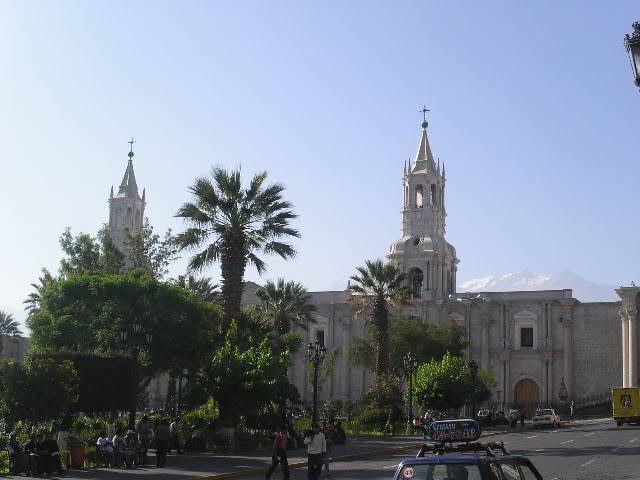
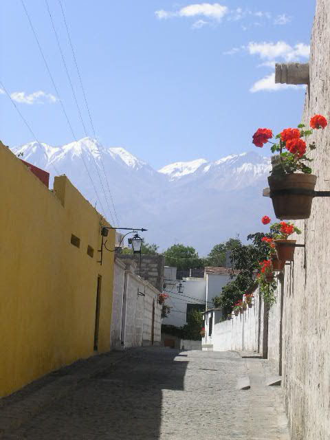
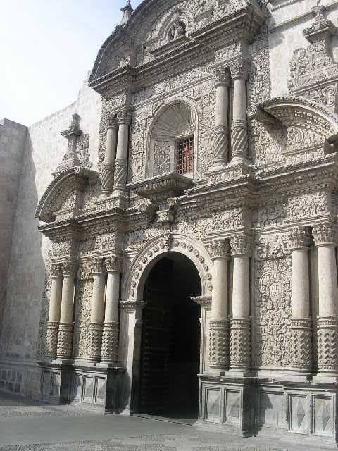
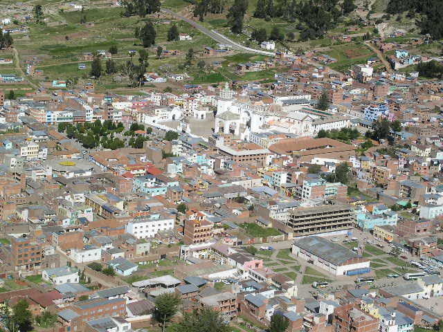
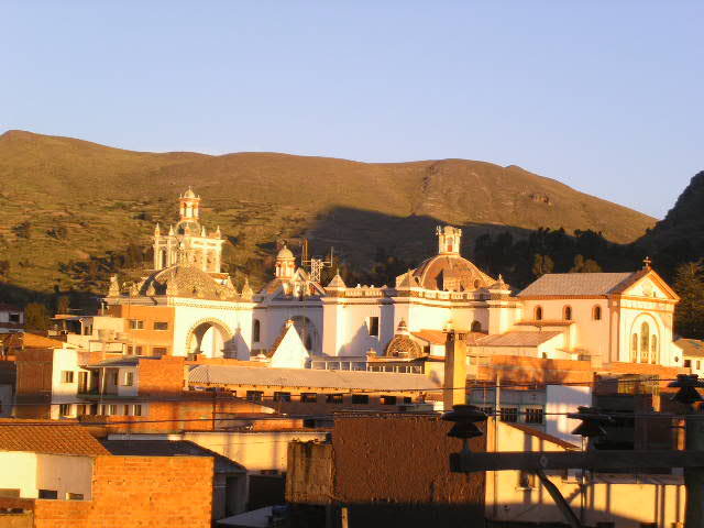
We made it into Arequipa (Air-a-keep-a) with no problems and found a terrific hostal with a secure cochera right across the street. Cindy was very serene in her cozy spot between two big-brothers and guarded by Arequipa's Cathedral.
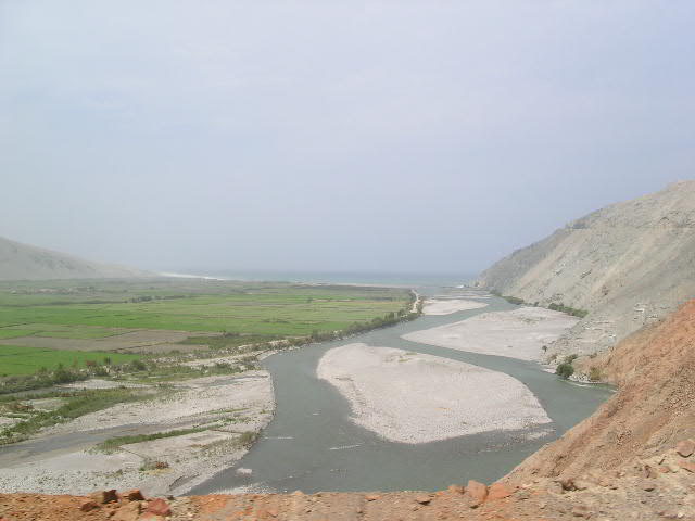 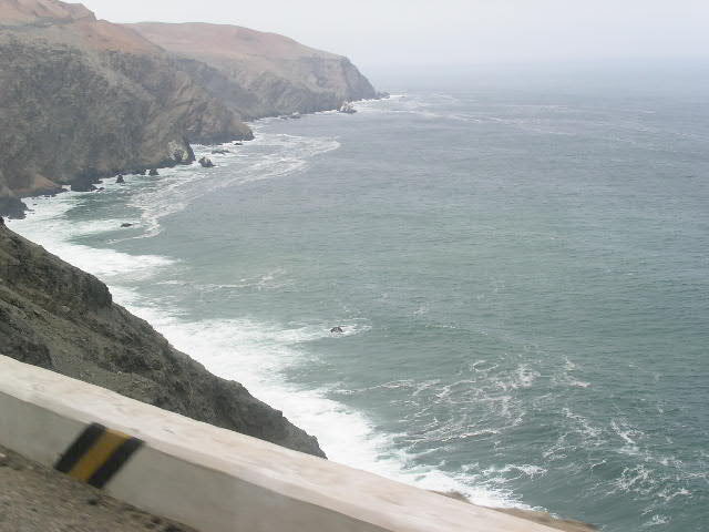 |
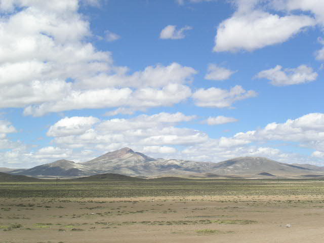
Views of terrain along the Peruvian
coast of massive sand dunes and river-cut valleys that empty into the ocean. |
 |
Cindy was well protected. |
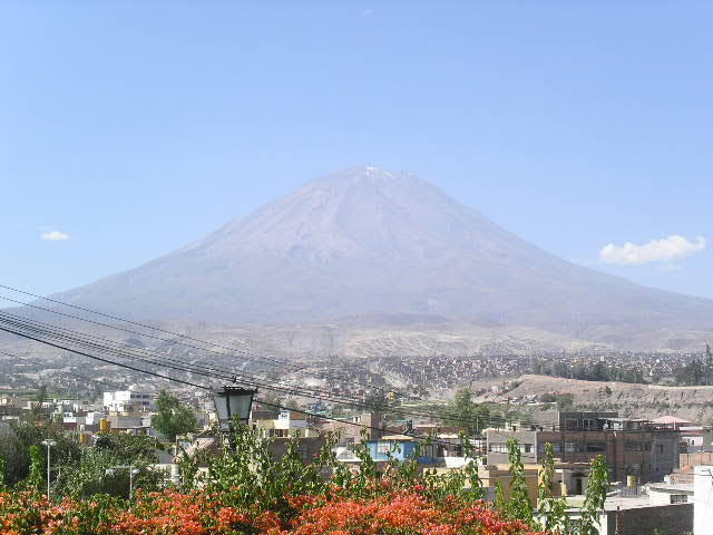
Other than walk around the Plaza de Armas and through many of the surrounding streets, we did not do much around town. Our highlight was meeting up with Carlos and Rosa for a couple of meals and a brief trip to a view point over Arequipa and of the city's sentinels, Volcan El Misti and Volcan Chanchani (5822m -18,000 ft. and 6075m - 19,000 ft respectively).
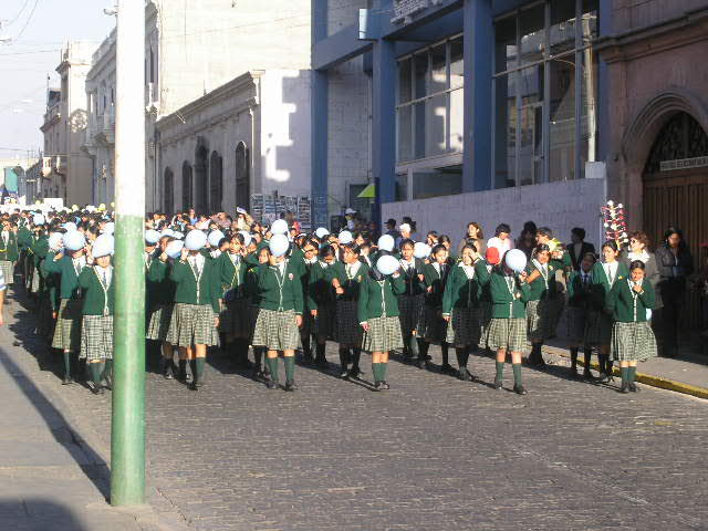 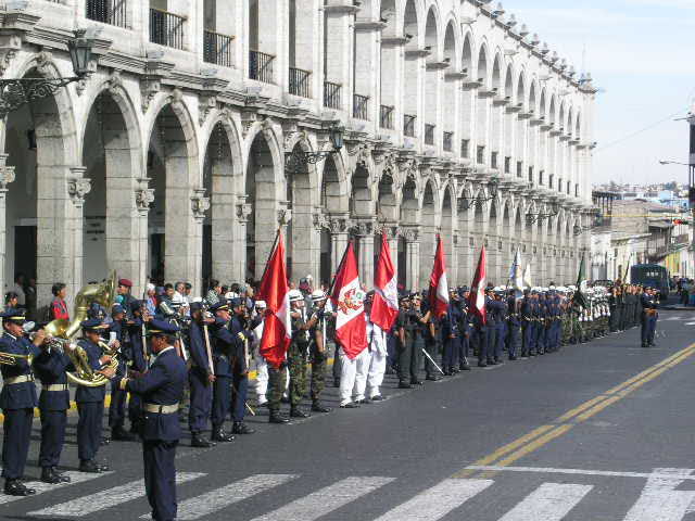 |
School children representing their various schools during the procession. Military |
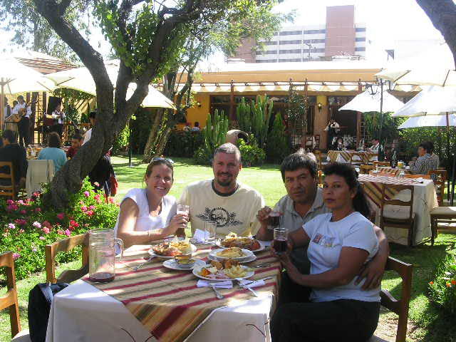 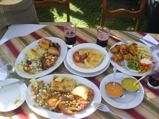   |
Carlos, Rosa and us at a fantastic
restaurant. Check out the typical dishes of roasted pork, chile
relleno, pastel de queso, chicharron de pollo, ensalada and chica morado.
Delicioso! Volcan El Misti Cathedral rebuilt in 1868 from earthquake damage. Volcan Chanchani is in the background |
During our wanderings, we were fortunate to witness a couple of "parades" or rather "processions" in celebration of their patron Saint. Many school children marched as well as a very impressive collection of representatives from the Peruvian military.
  |
Arequipa streets with Volcan Chanchani in the background. Arequipa is famous for its |
 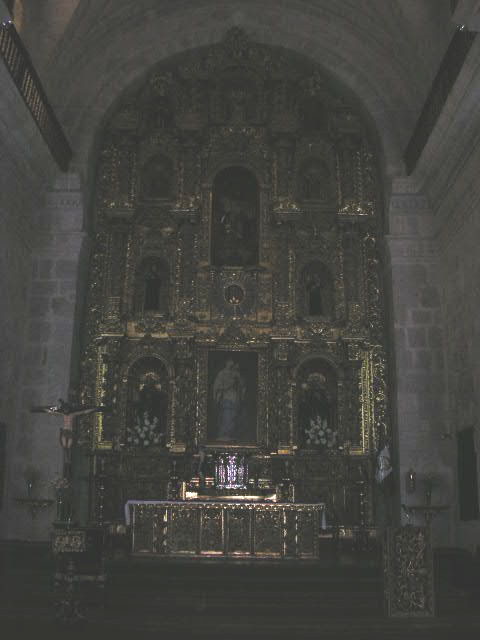 |
Iglesia de la Compania and its glorious gold altar |
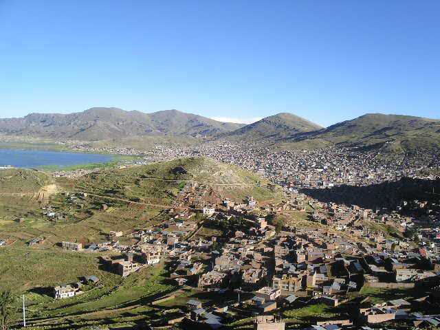
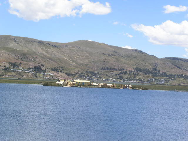
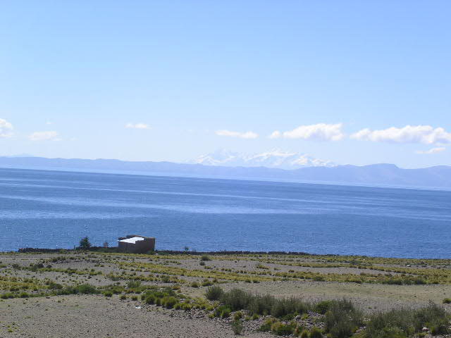
Our next stop and our final stay in Peru was Puno. The city of Puno hugs the shore of that lake with the famous funny name, Lake Titicaca (yeah, you know how to pronounce it). Lake Titicaca is a lake shared by both Peru and Bolivia and at 3820m (12,540 ft), it is one of the world's highest navigable lakes. The lake can also boast that it is the largest lake in South America with a length of more than 176m (109 miles), a width of over 50km (31 miles) and coverage of an area of 8,500 square km (5300 square miles). Just a little bit of trivia: the sun is so intense at this altitude that 600 cubic meters (21,000 cubic feet) of water per second evaporates from the lake.
Before we ventured out onto Lake Titicaca (isn't that a great name!), Gerson just happened to sniff out some pre-Inca ruins located just outside of Puno. The mysterious Sillustani ruins are compiled of "chullpas" (funeral towers) and were created by the Colla peoples. In these giant cylindrical tombs, they buried their dead and encased them in towers that reached upwards of 12 meters (40 feet) tall.
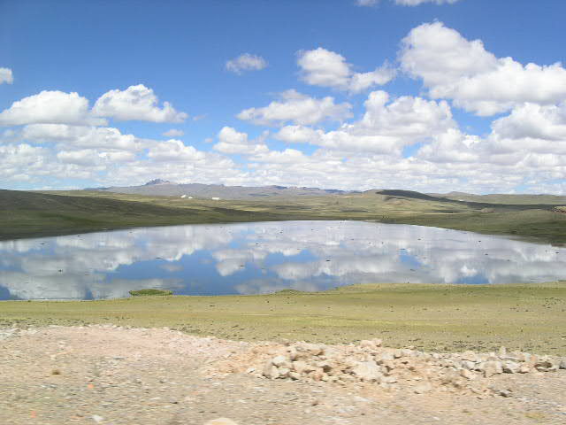  |
A couple of fantastic sky and landscape views along the road. |
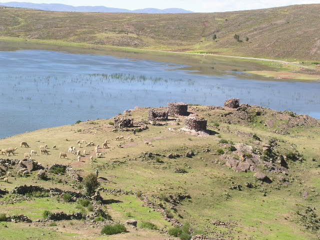  |
View to Sillustani ruins and vicuna (llama cousin) herd. View to Cindy at Sillustani |
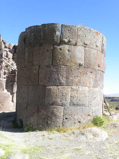 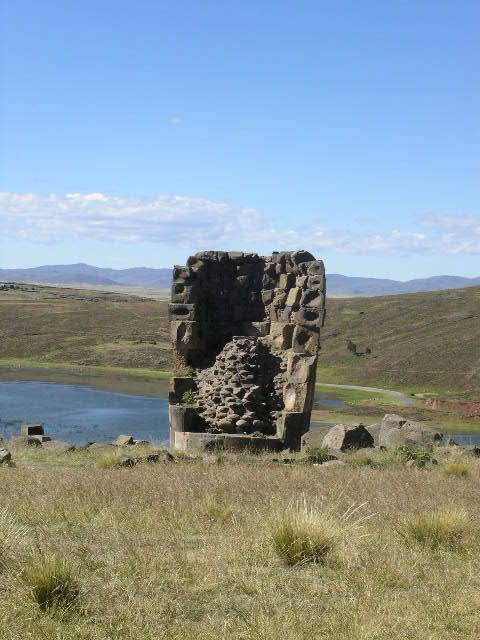 |
Example of chullpa towers built by the Colla peoples. See the niches in which they interlocked the blocks? |
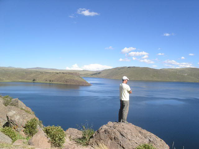   |
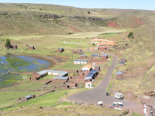
Gerson overlooking the Lake Umayo at Sillustani ruins. Typical homesteads on the Puno plains. View of Puno and Lake Titicaca |
Lake Titicaca has long been considered a sacred place among indigenous Andean peoples. According to Andean legend, Lake Titicaca was the birthplace of civilization. Viracocha, the creator deity, lightened a dark world by having the sun, moon and stars rise from the lake and occupy their places in the sky. The people who live in and around the lake consider themselves descendents of Mama Qota (Sacred Mother), and they believe that powerful spirits live in the lake's depths.
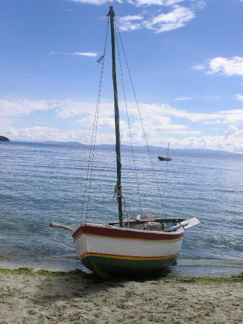
Lake Titicaca has been inhabited since before 2500 B.C. and the totora reed boats were used even then. Many of the inhabitants of the lake itself live on what are called "floating islands" and are referred to as the Uros Indians. The floating islands are made by hand from totora reeds that abundantly grow in the shallows of Lake Titicaca. This unique construction technique has been practiced since before the Incas and today, there are approximately 30 floating islands. The islands have schools, a post office, churches etc. as well as the communal homes for the families of the 1000 or so inhabitants.
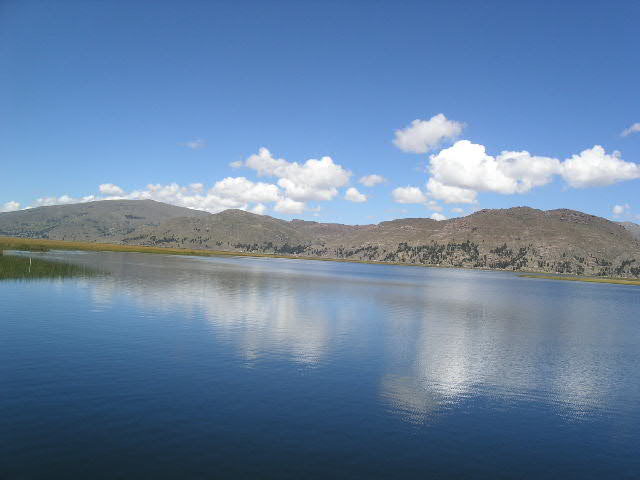 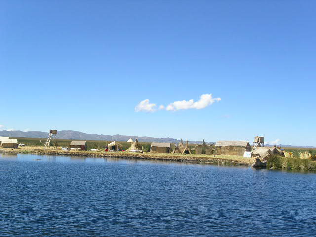  |
View of Lake Titicaca and its azure blue water View of various floating islands |
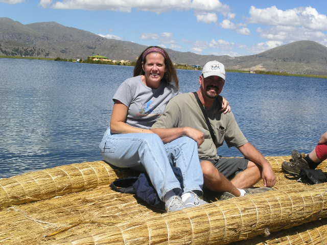 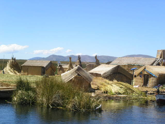 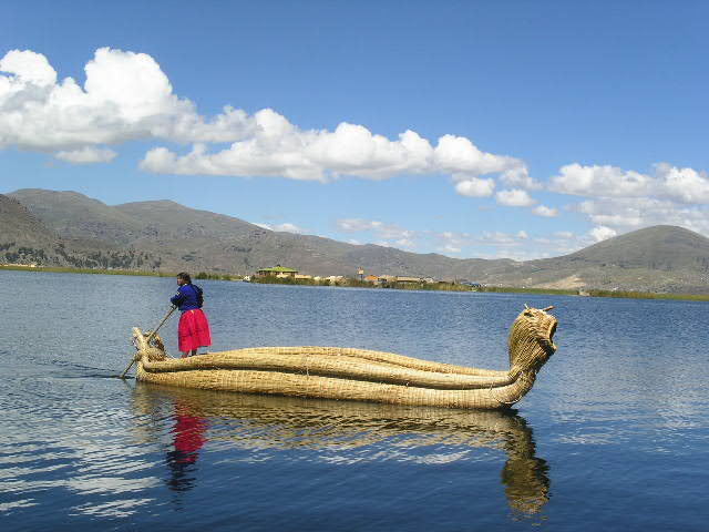 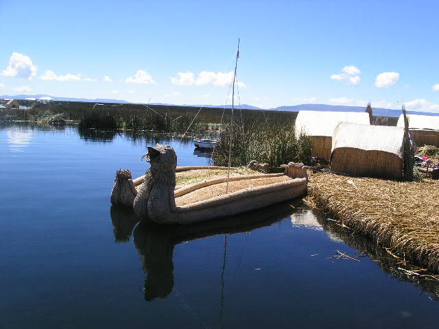 |
Our ride on the totora boat Example of the homes and buildings made from totora reeds. And the totora boats - some with fanciful reed bows. |
The islands and most of the buildings constructed on top of the islands are all built out of the totora reeds. They maintain the islands by placing new reeds on the top layer of the island, all the while the bottom "layers" are rotting away. The island's base/floor is anywhere from 3-6 meters thick (9-18 feet) and when walked upon, has a somewhat "springy" sensation as though you are walking on a firm mattress.
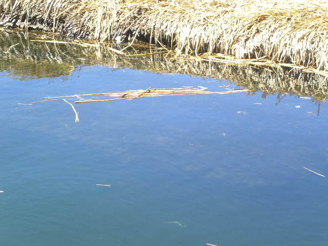 |
School transportation (School building is on the right) Look closely and you can see the depth of the totora reed base under the water |
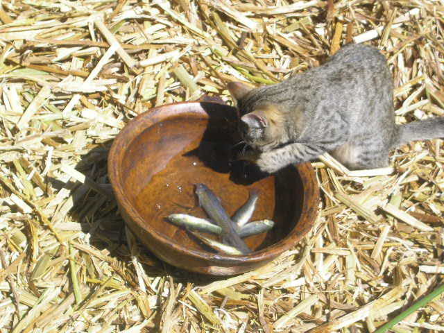 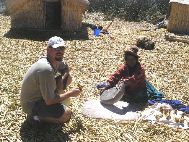 |
We were given a lesson on the local
plant and fish culture and there was one very interested party
who decided to try the local fare. Gerson with a woman making the flour for bread. She rocks the stone back and forth over the grain, creating the fine flour. |
Our visit to three islands was sensational. Even though the islands resemble floating souvenir stands, there is something to be said about walking on a floating mass that is built completely of reeds. We also took the opportunity to ride from one island to another in the totora reed boat and what a pleasant ride that was. All in all, to see these famed islands and to actually walk upon the reed mat (and not fall through) was quite exciting for us.
We left Peru with bittersweet emotions. Bitter because we really enjoyed Peru and sweet, because we were looking forward to Bolivia. Fortunately, our border crossing was very easy and we landed in Copacabana, Bolivia, which is on another shore of Lake Titicaca.
    |
Amazing views to Lake Titicaca The first picture has a large boat in the middle - just to give you an idea of how enormous this lake is - and how pristine! |
  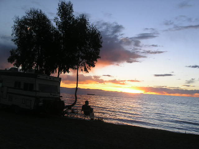 |
View of Copacabana with Cindy parked 1" up from the bottom Sunset view of the Cathedral and of Lake Titicaca Gerson and Cindy enjoying our lakefront camp sunset |
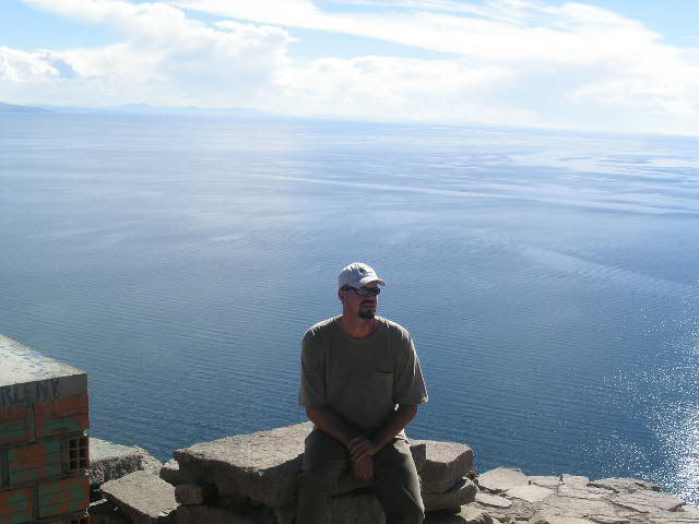
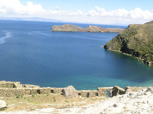
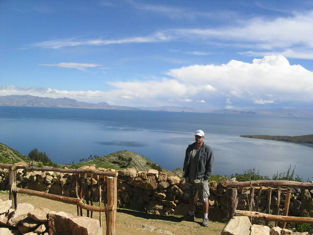
We jumped at the first opportunity to take the two hour boat ride to Isla del Sol. There are two important islands in Lake Titicaca, Isla del Sol and Isla de la Luna. Isla del Sol is considered the creation site of the Inca peoples. It was on this island that the bearded god Viracocha and the first Incas, Manco Capac and his sister-wife Mama Huaca, made their mystical appearances. Isla del Sol today continues to be reverred as sacred to the Aymara and to the Quechua Indians.
  |
Picture perfect |
   |
Laberinto Chinkana ruins and Gerson in
the Inca doorway Great views of Lake Titicaca and from the Inca trail on Isla del Sol |
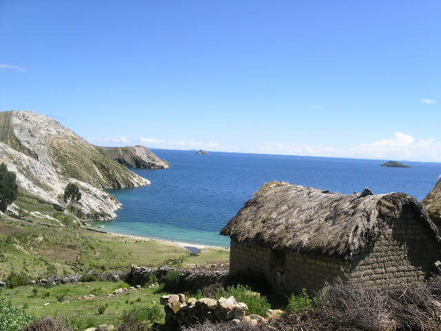
Of course, we found some Inca ruins and had to take a look. We trekked the island from end-to-end in about four hours and found ourselves surrounded by green terraced hills, sky-blue water and friendly locals. Quite breathtaking and wonderfully tranquil.
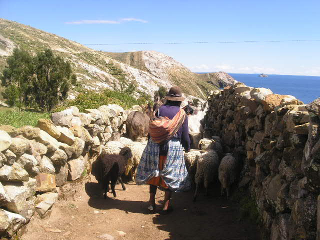  |
A local Aymara Indian herding her sheep and mules and the view from her picturesque home |
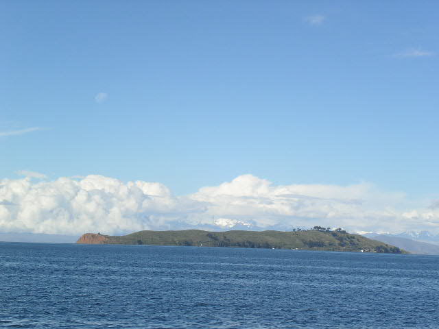 |
View to Isla de la Luna from Isla del Sol. Look closely at the upper left quadrant and you can see this island's namesake. |
Home Page South America Diary Index Previous Diary page SA Diary page 12