Our visitors and
good omens
Good Morning!


trail head, already beautiful
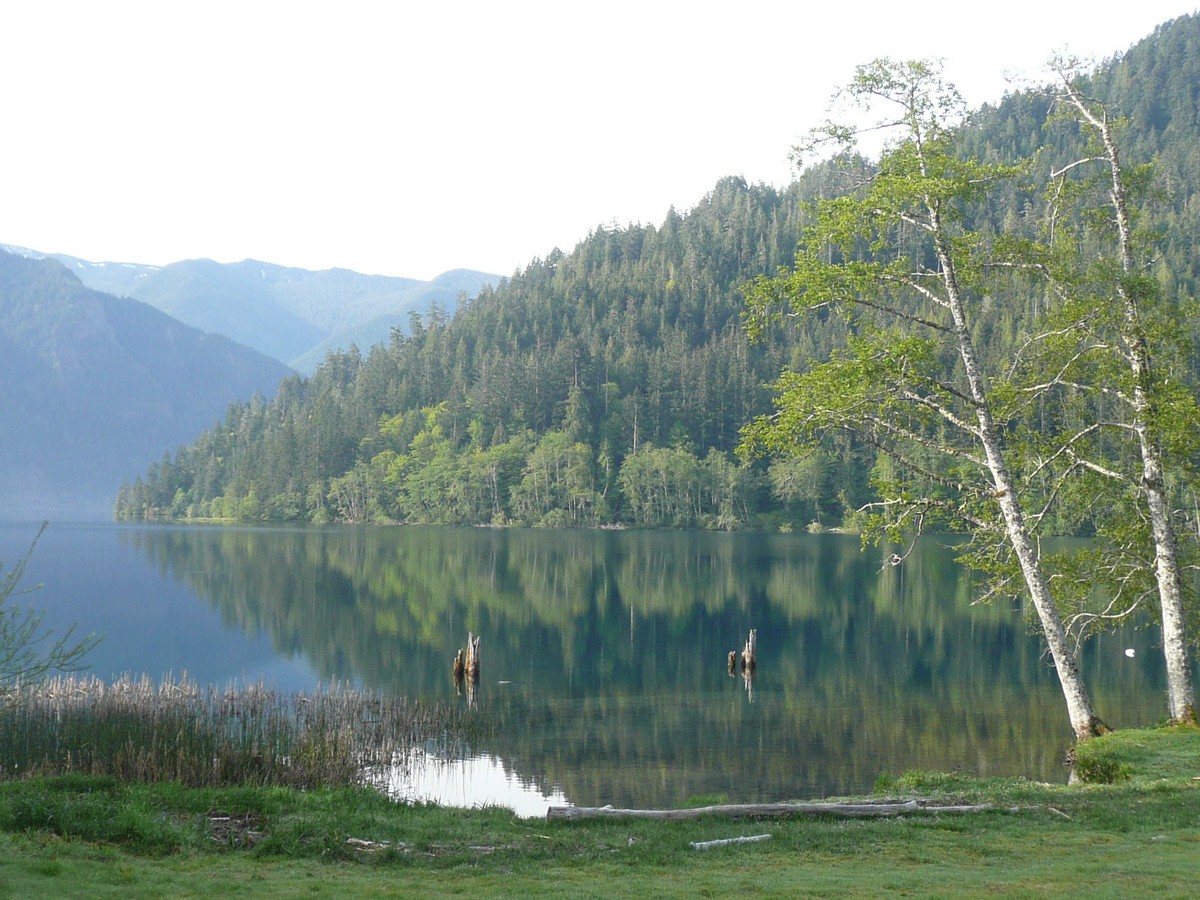
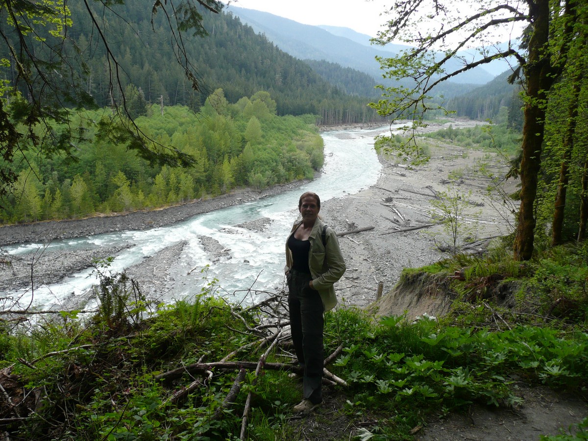
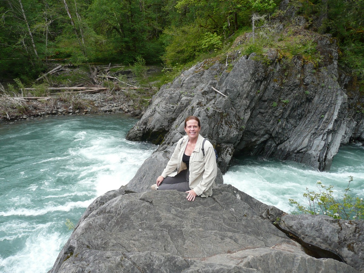
Louise overlooking the Elwha River
Banana Slug - they get rather large
Gerson enjoying the view
Diary/Photo Journal
Week of May
16, 2010
We began this week at the end of our stay in the Olympic National Park. Lake Crescent was seemingly abandoned as the weekend was over and the real tourist season begins at the end of May. With that reality, we had our pick of campsites and a site on the water suited us just fine. No sooner than we had settled in for a cold beer and a warm sunset, when a family of Canadian Geese waddled on through. I thought this was a good omen for our trip into Canada.
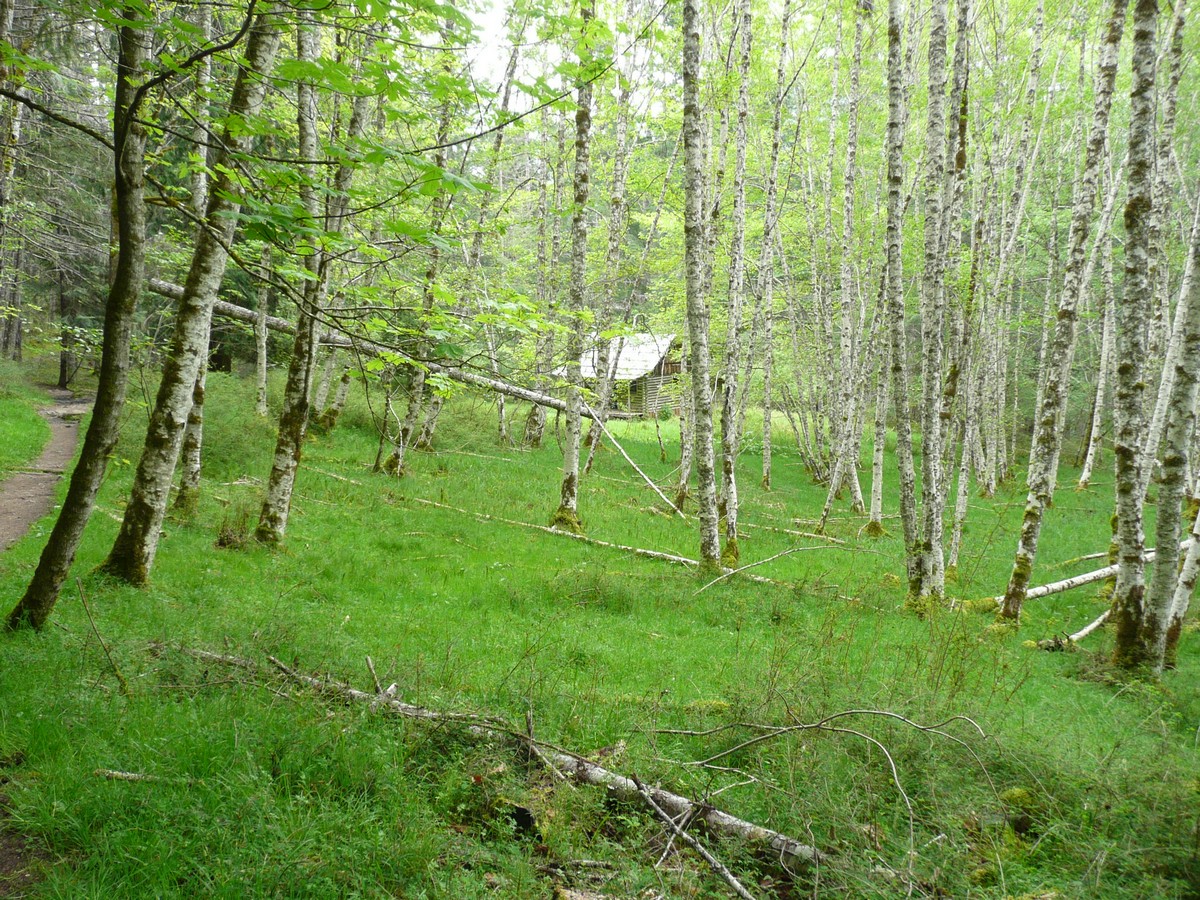
On the second recommendation of Rob, we used Lake Crescent as a launching point for our next hike along the Elwha River, a diverse landscape that was known for its elk, black bear and mountain lion sightings (around elk calving season in early Spring).
|
|
Our camp view
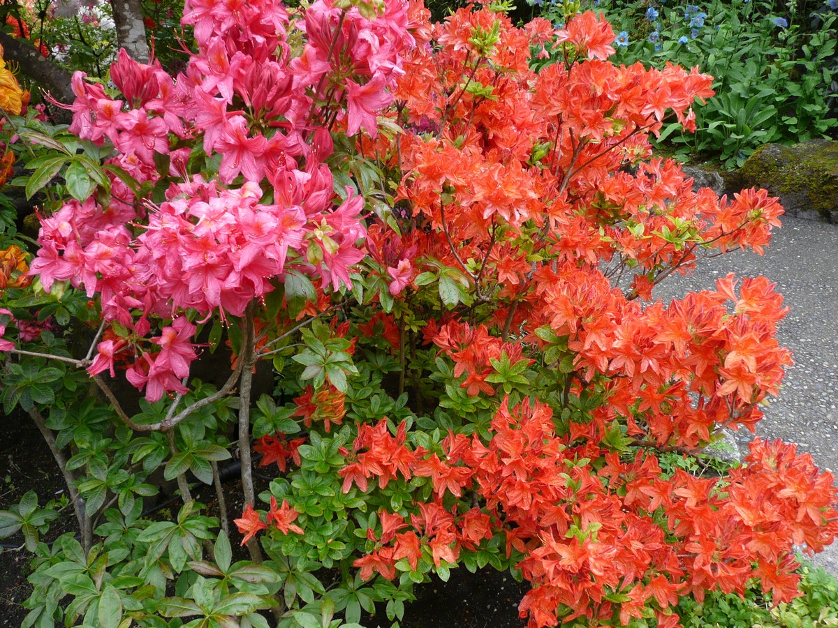
Our visitors and Good Morning! |
|
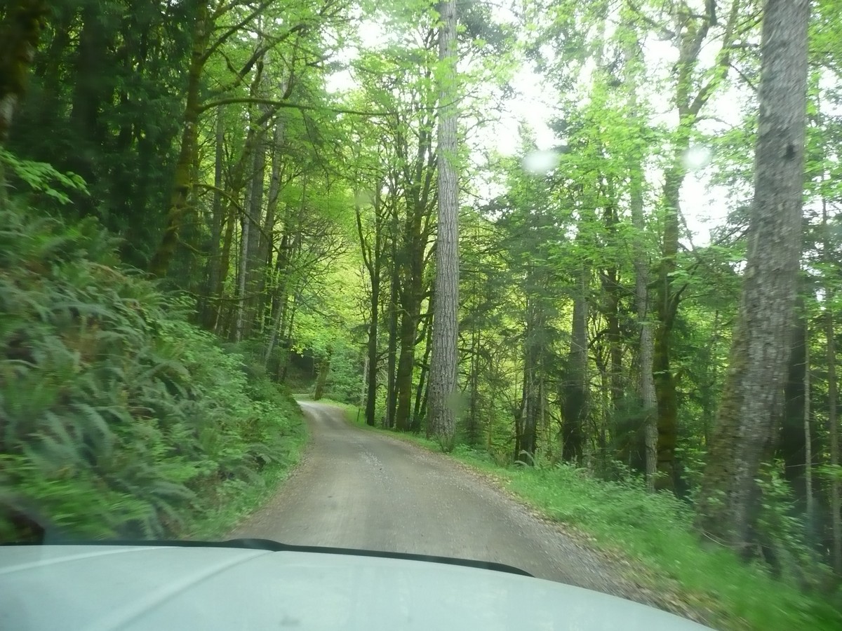
Approaching the Elwha
River trail head, already beautiful Louise overlooking the Elwha River Banana Slug - they get rather large Gerson enjoying the view |
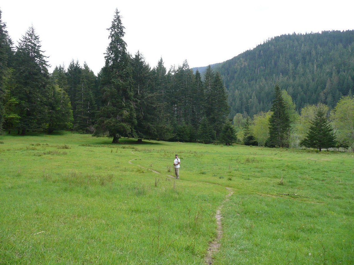
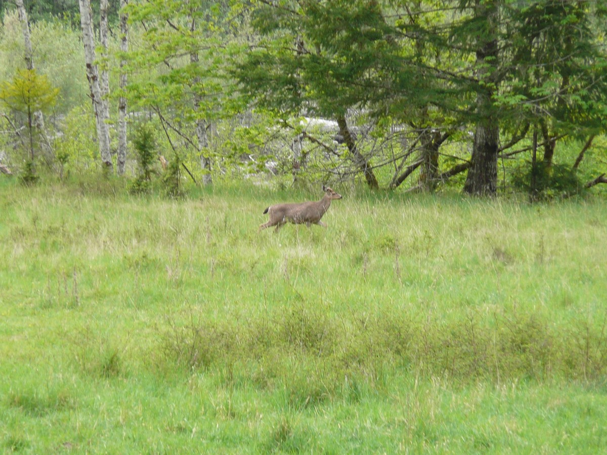
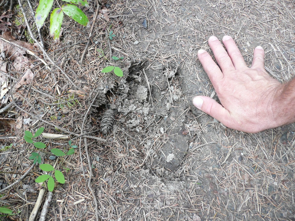
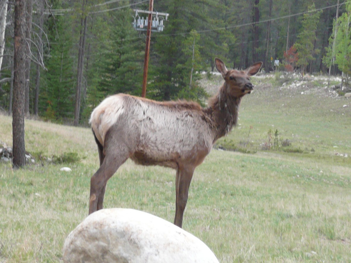
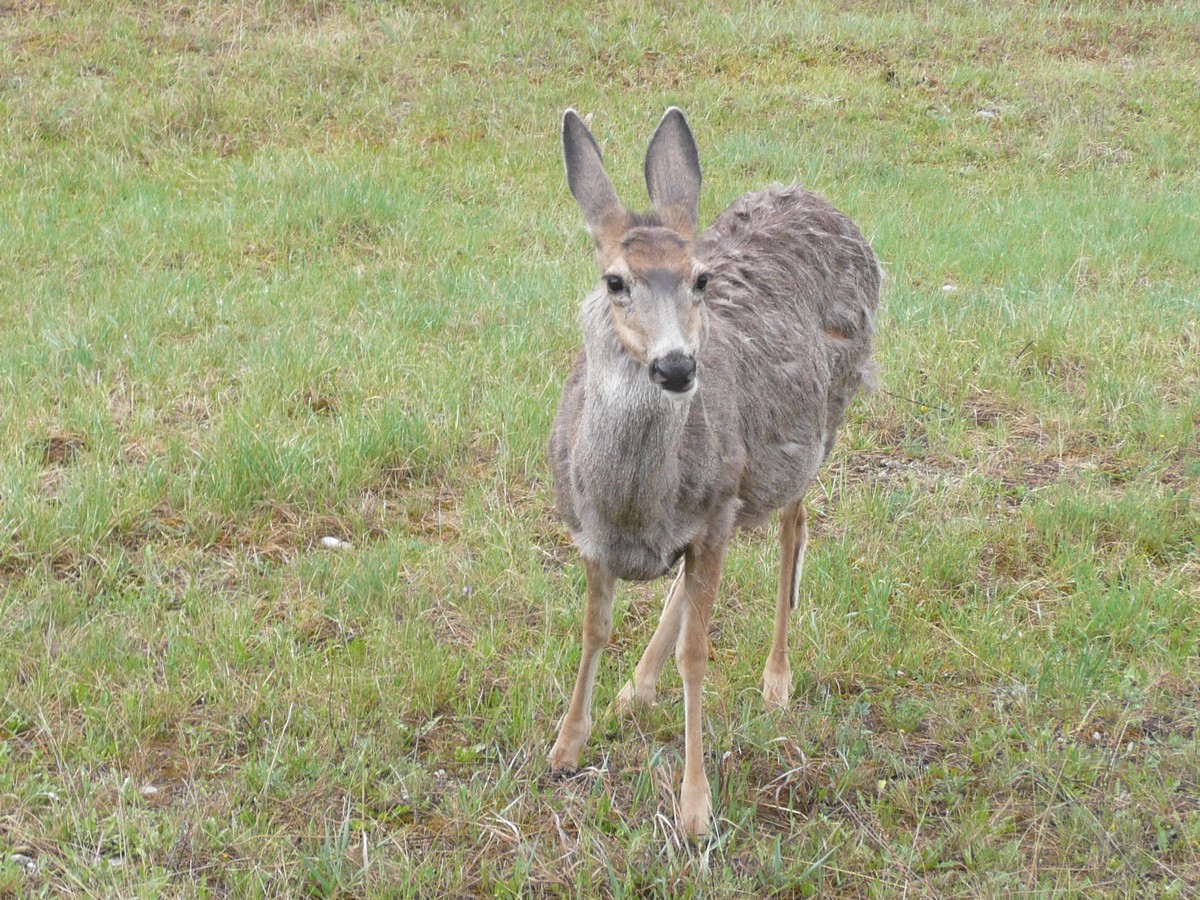
We did not see any elk, bear or cougar; however, we did come across several deer and found one large animal track that we still are trying to determine its owner. We hiked about seven miles through thick forest, across open meadows, around original homesteads (with to-scale cabins that resembled the original buildings), along the river and we even got to enjoy our lunch 50' in the air above the Elwha River (straddling a bridge, of course).
|
Beautiful meadows to cross Even the deer think so Michael's Cabin and |
  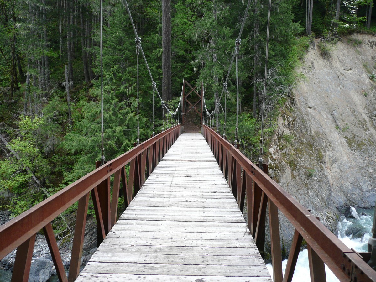 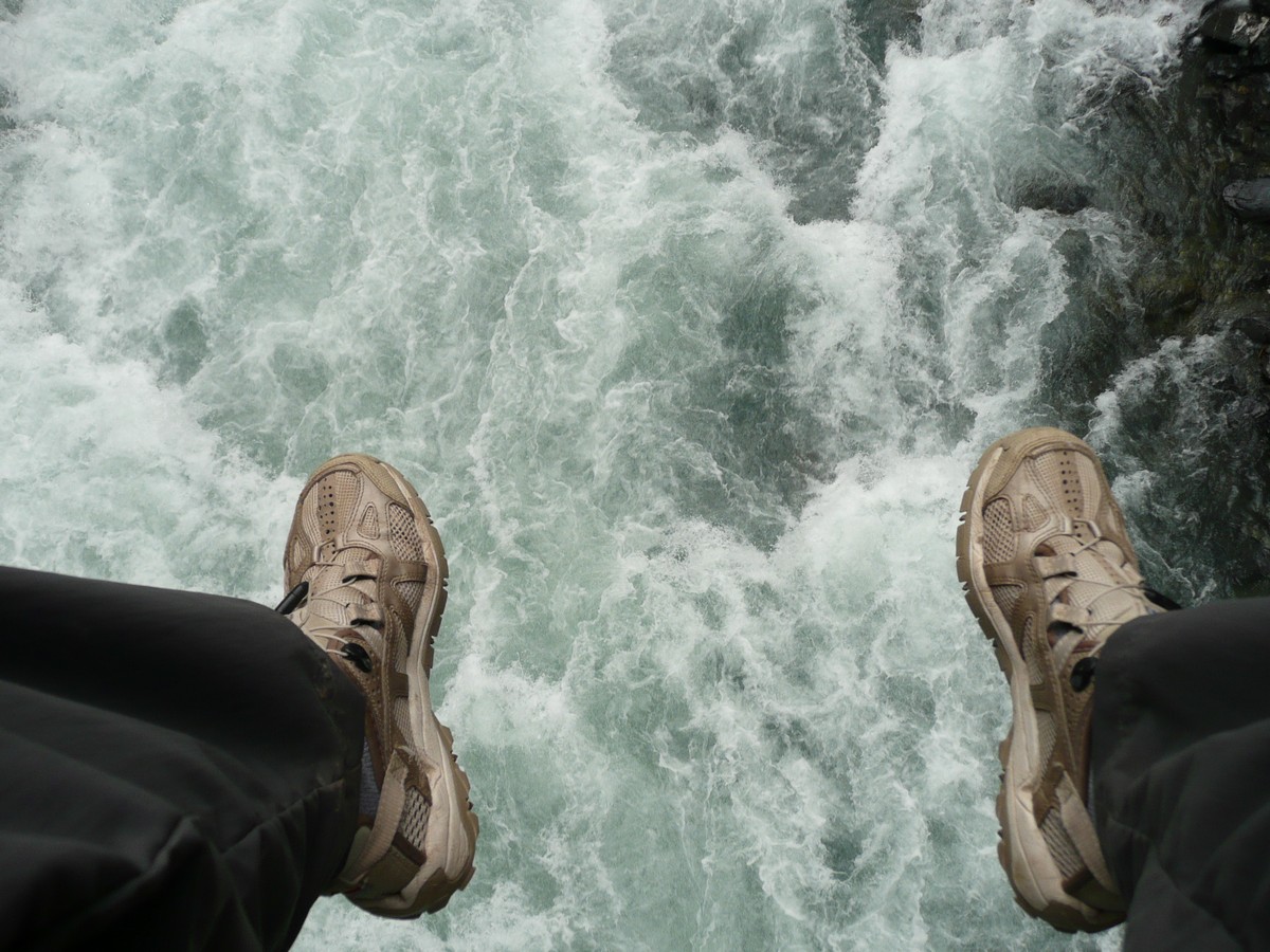   |
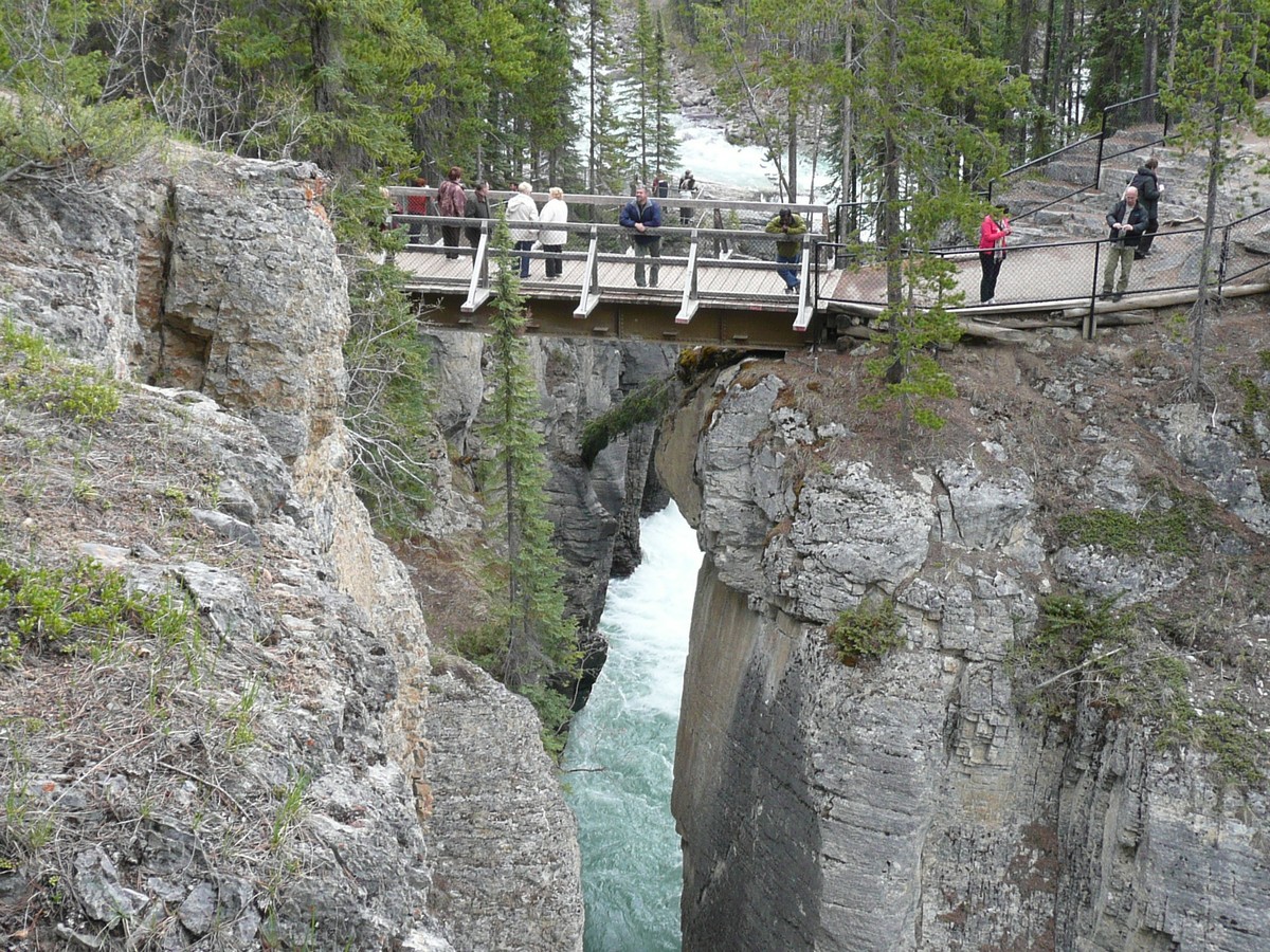
Goblins Gate - the river
gets squeezed through this 'gate' and screams past Gerson on the edge How cool is it to have lunch with your I could not resist the challenge (yes, a Cannot identify the track, but definitely |
We finished our hike and lo and behold, just as we reached the parking lot, up walks Rob, just beginning one of his favorite hikes. What a coincidence! We thanked him profusely for his recommendations as both hikes were diverse and beautiful and we left him happily disappearing into the woods.
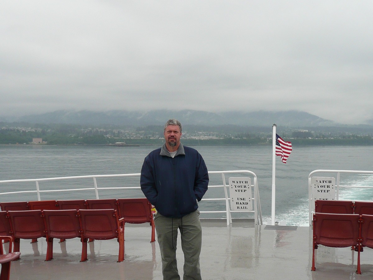
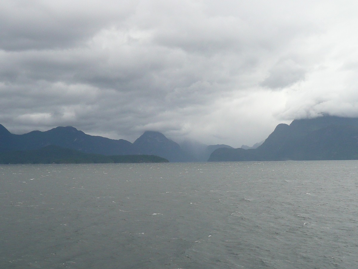
As Canada beckoned, north we drove. We could not catch the last ferry to Vancouver Island (British Columbia) so we stayed in Port Angeles for the night. The ferry left early and we were there even earlier to make sure we made it to Victoria with plenty of day left to enjoy the sights.
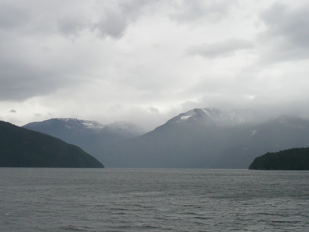
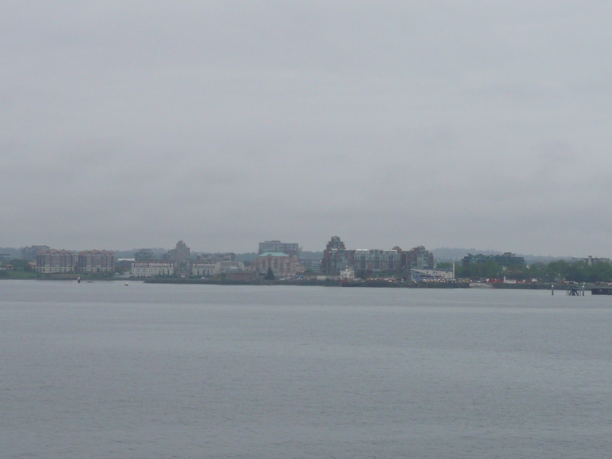
We waved goodbye to Port Angeles and in a rather dismally overcast morning, cruised 90 minutes across the Strait of Juan de Fuca. The city of Victoria itself is not a remarkable city; however, the surrounding landscape is stunning. As soon as we disembarked, we were off out of the city and up to the Victoria Butterfly Gardens and the Butchart Gardens.
|
Leaving Port Angeles
Views in the Strait of Coming into Victoria, |
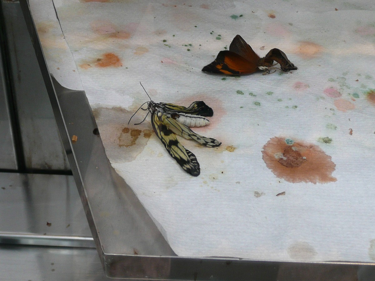 
Click BUTTERFLIES for more |
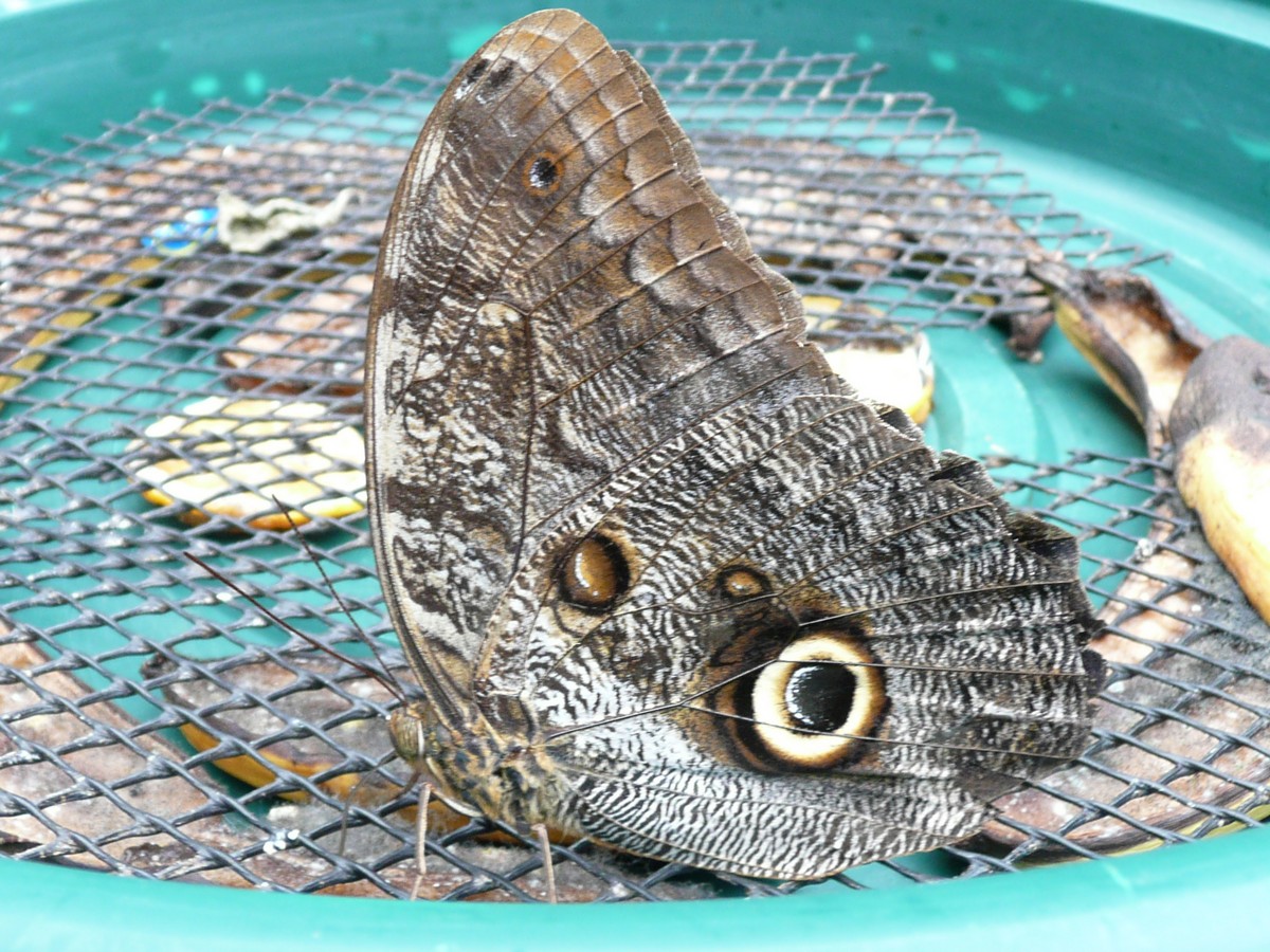
Newly emerged and all
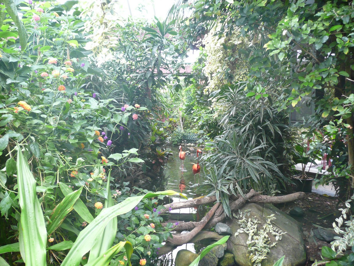
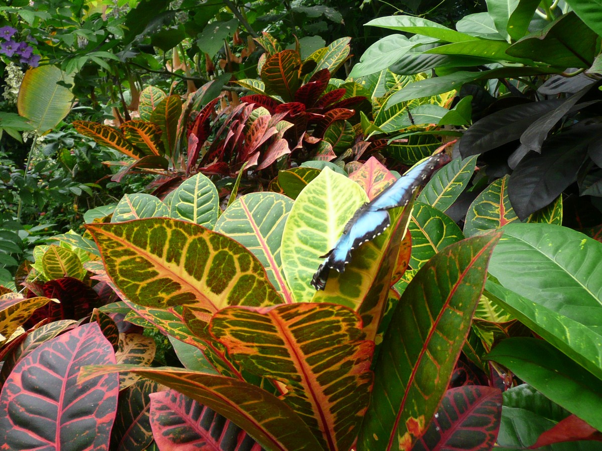
grown up White Tree Nymph - 3 3/4 - 4 1/2 inches (South East Asia) My favorite of the butterflies - when it would fly above you and across the light, it became so translucent, you could only see the black detail. It looked like flying lace Awesome bush/tree The Flamingos just add more color to Can you spot the Blue Morpho? |
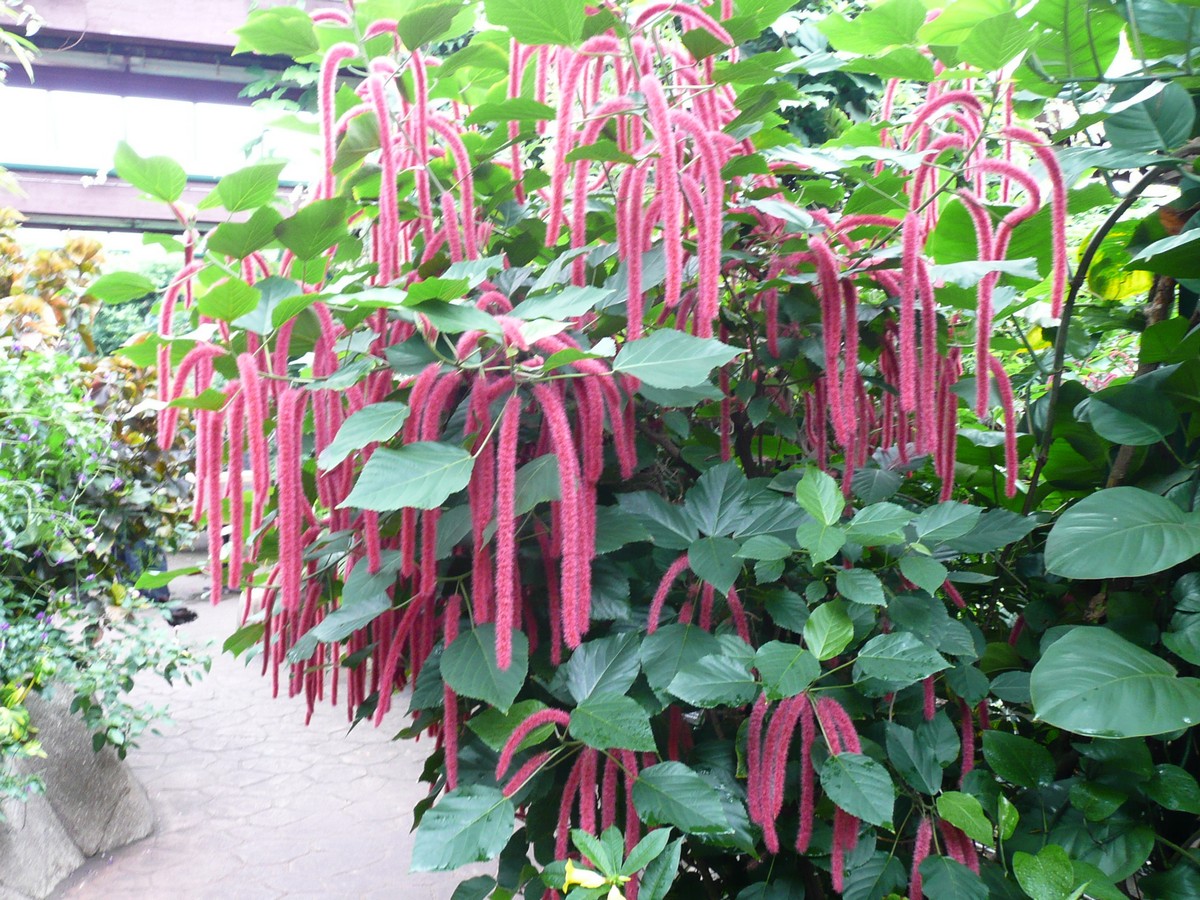
The Victoria Butterfly Gardens was truly amazing. Poor Gerson just waited patiently for me to get all my photos and my holding my hands up in hope that one of the ethereal creatures would land on me. No luck with being the landing strip; however, there were so many things winging nearby, I got a plethora of photos (click on BUTTERFLIES for more colorful critters).
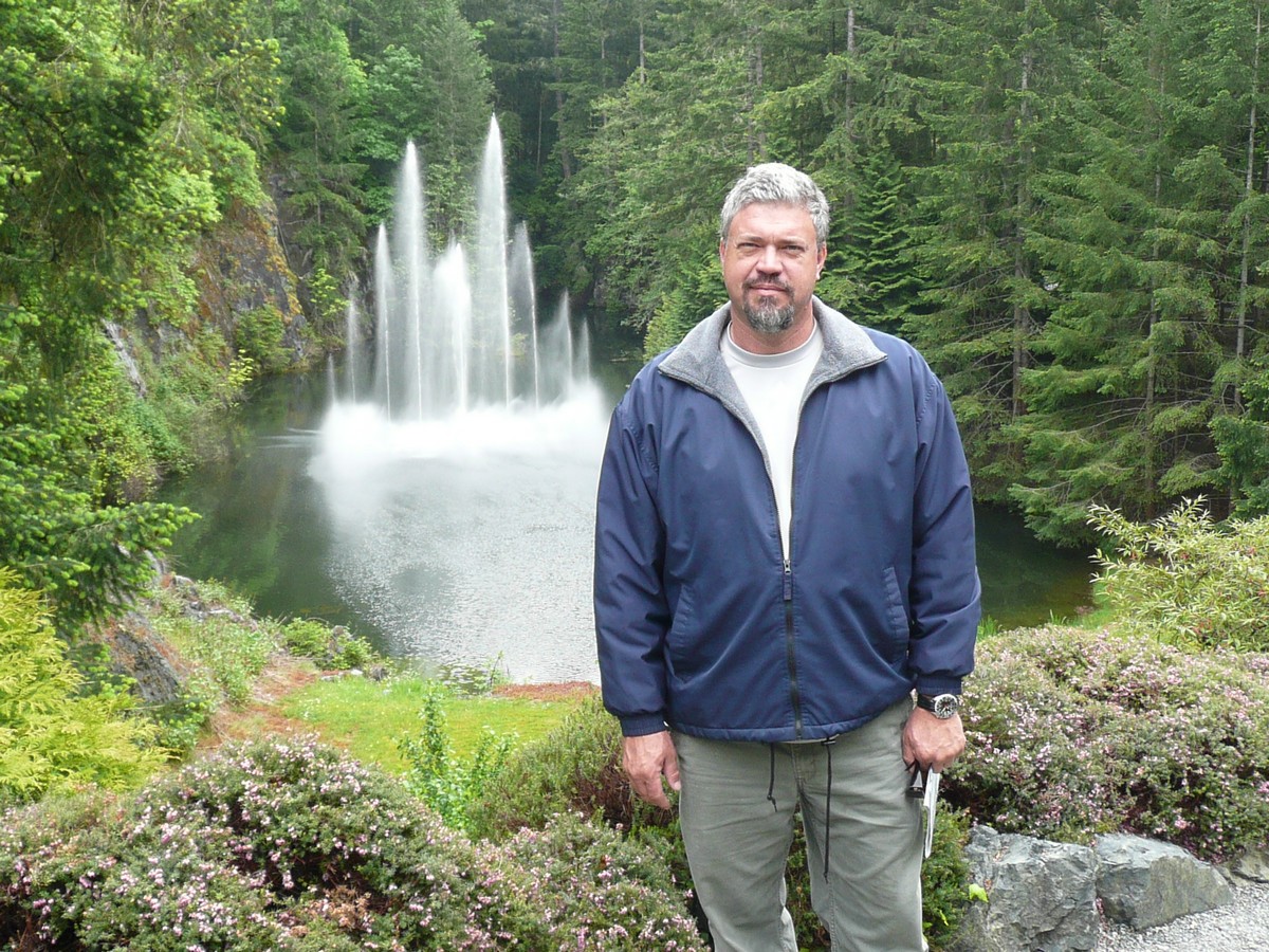
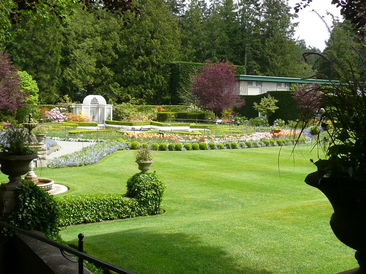
From one Garden to another, we visited the superb Butchart Gardens nearby. Like the Butterfly Gardens, this garden was almost overwhelming to our sense of sight as the vividness of the colors was extraordinary. Looking at the intricacy of the flower itself is like looking into the soul of the plant. Each one is so different, yet all seemingly with the same objective: to drive our allergies crazy. No, seriously, to attract the birds and the bees and all the romance that comes with pollination.
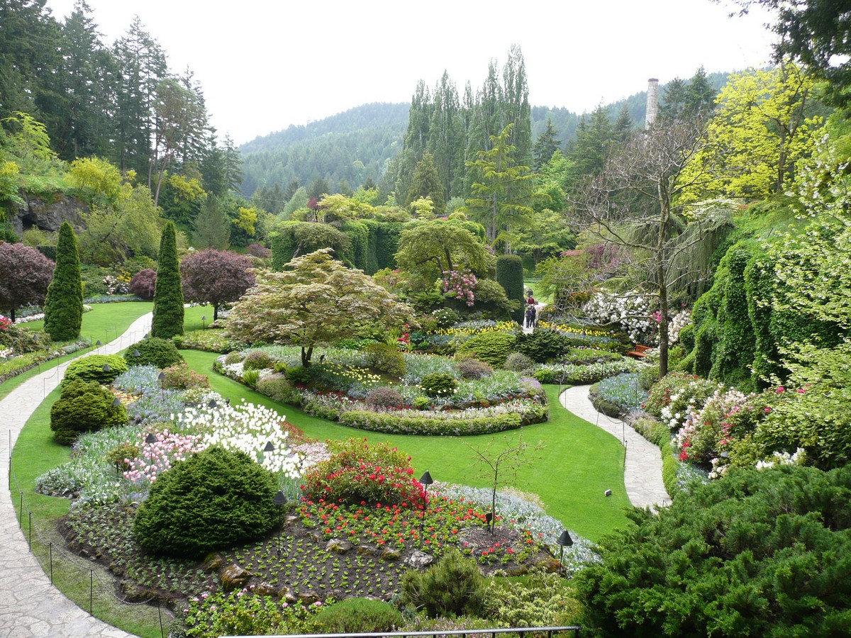 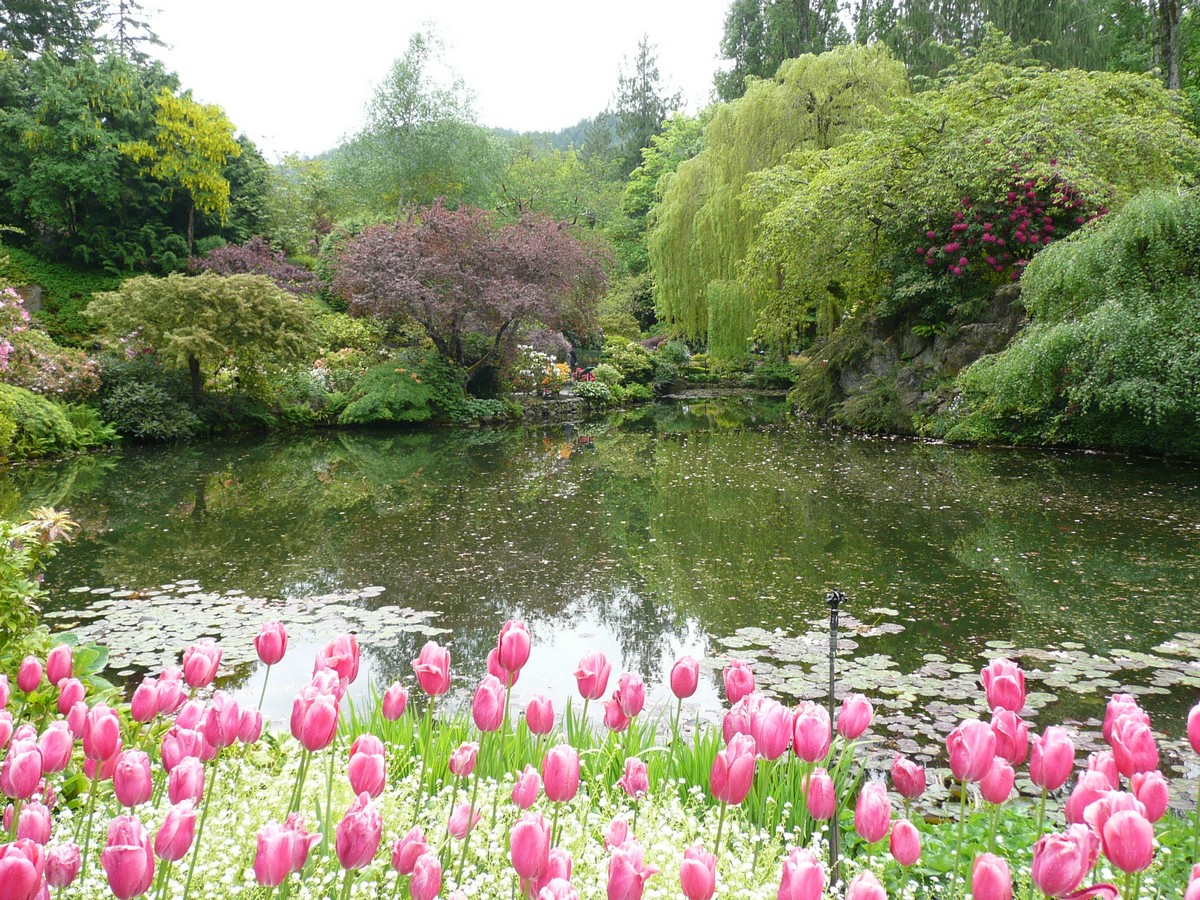   |
View over some of the
gardens Tulips guarding the pond Translucent leaves in the sun One of the several fountains |
 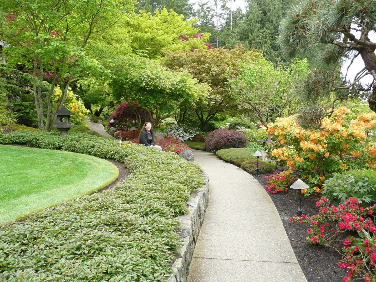   |
More garden paths and of
course, more flowers The gardens abut an ocean inlet Stop and smell more of the "FLOWERS" |
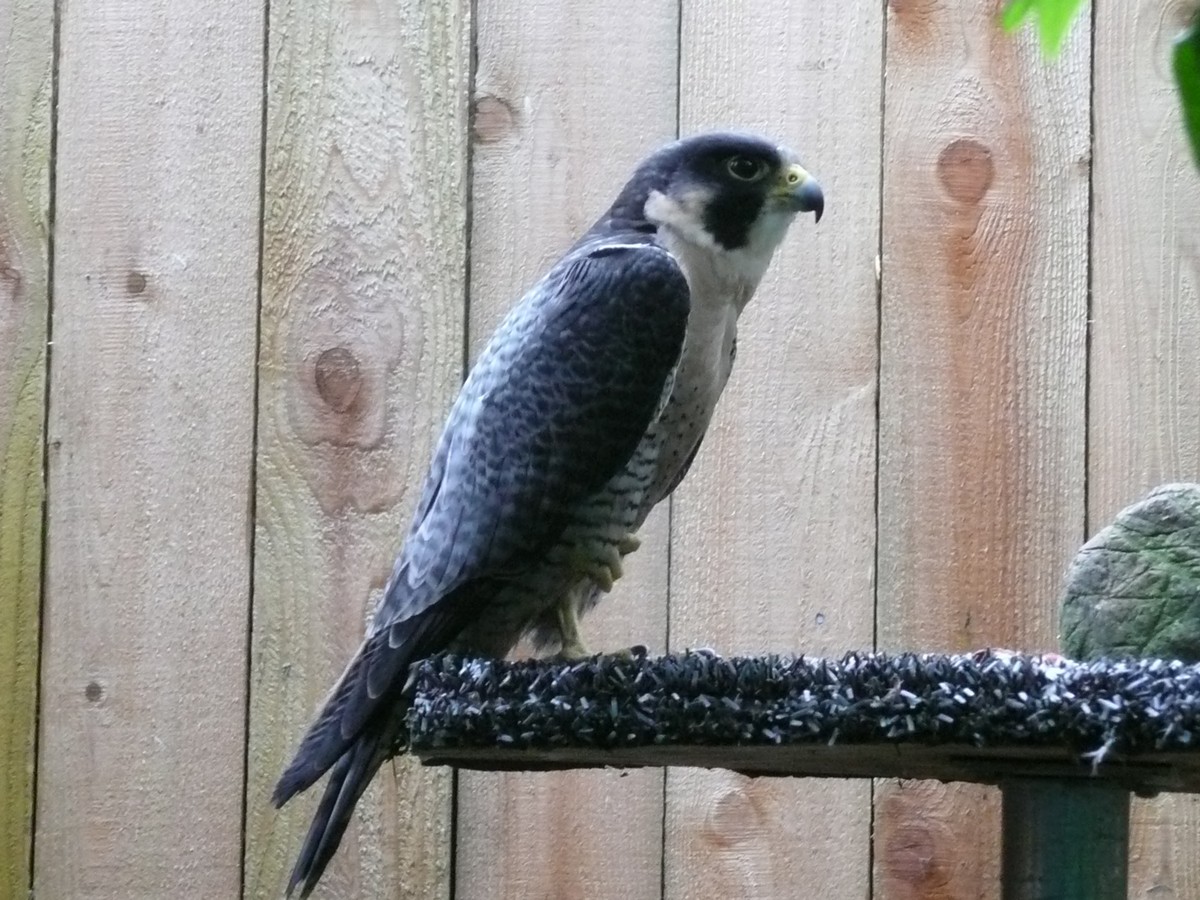
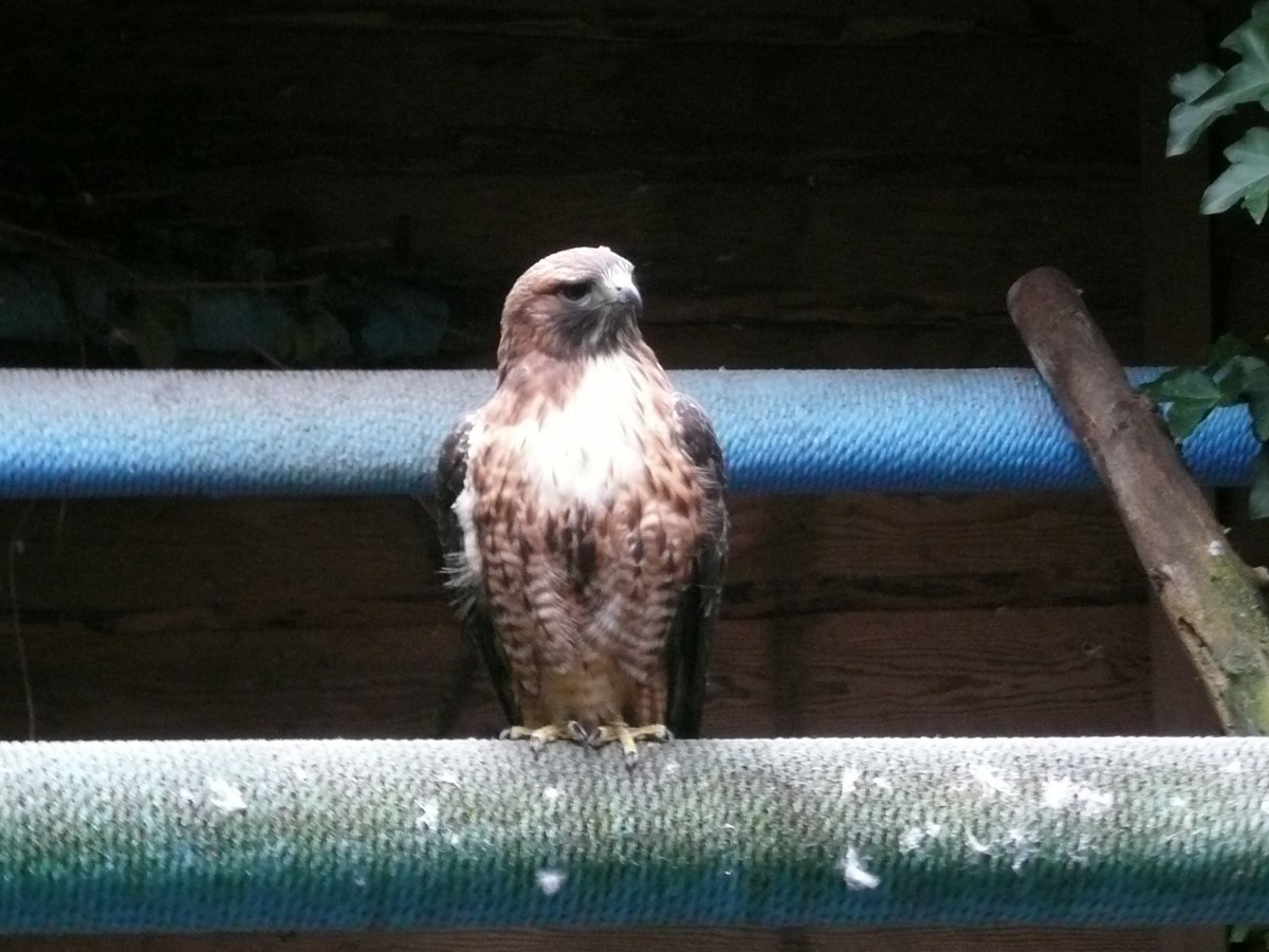
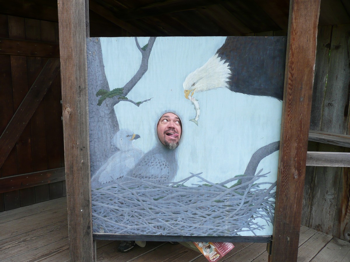
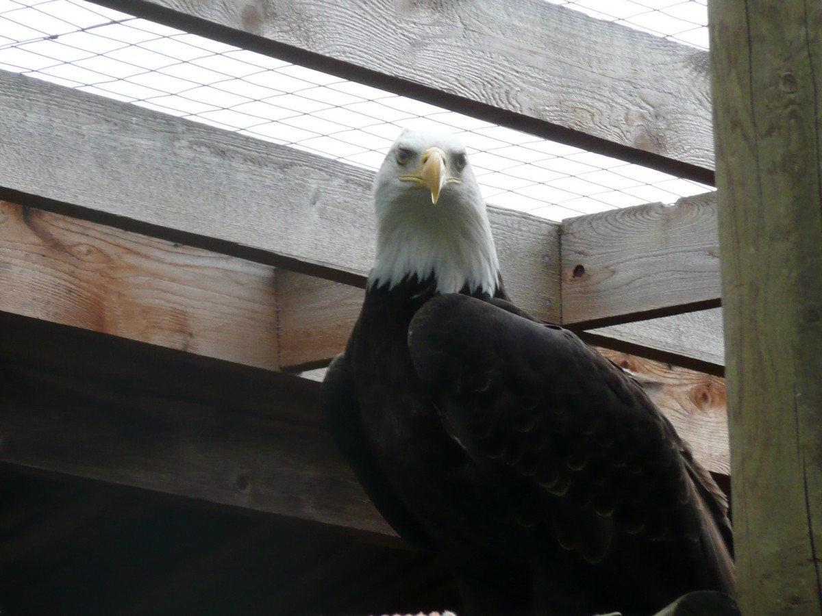
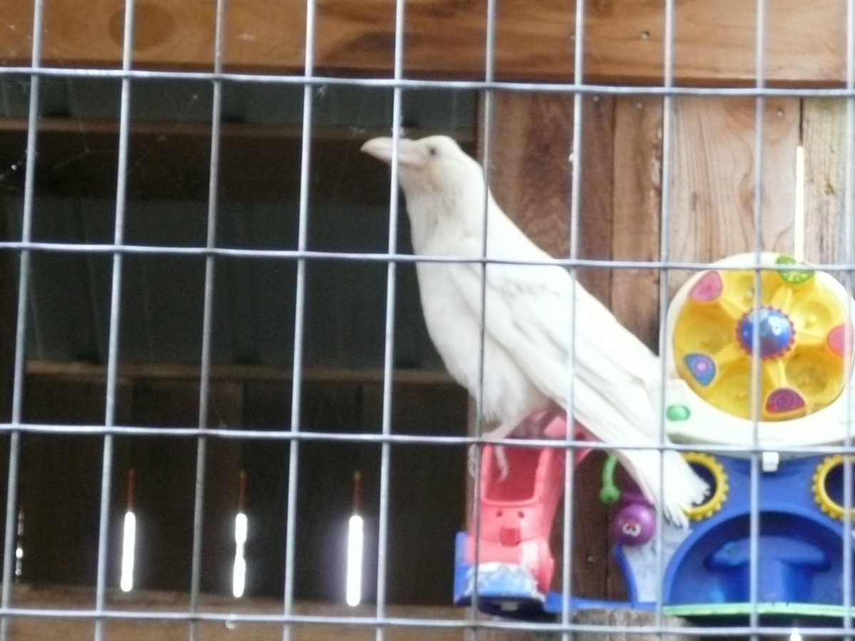
We found ourselves in Parksville (still on Vancouver Island) for the night and first thing the next day, we were able to stop into another attraction, and yes, a garden of sorts. Many wild animals are injured every year from careless hunting practices, errant traps, aggressive interaction with their own kind, fences, etc. The North Island Wildlife Recovery Centre is a place that many of the birds of prey and black bears are brought to recuperate or if unable to be returned to their natural habitat, to live out their lives under the care of the centre.
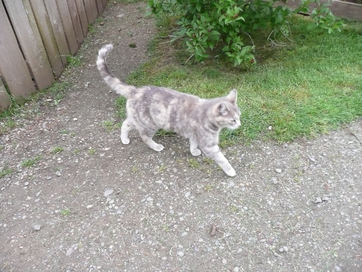
It was a nicely laid out centre and it was wonderful to be so close to some of the magnificent birds. We were even guided by one of the most unlikely occupants, the centre's cat. Apparently, he knows a good place when he sees it! ( I can just imagine him sitting on the fence outside of the Bald Eagle enclosures and snickering "you can't touch this, meow, wow, wow!"
    |
Our very pretty guide
This falcon, owl and hawk |
    |
Gerson asking for lunch
A poorly healed wing keeps this |
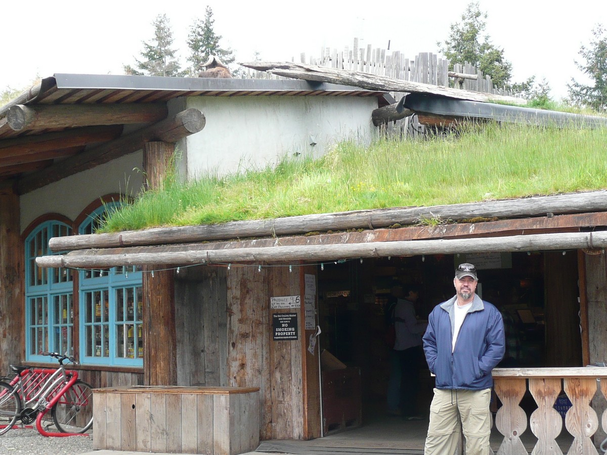
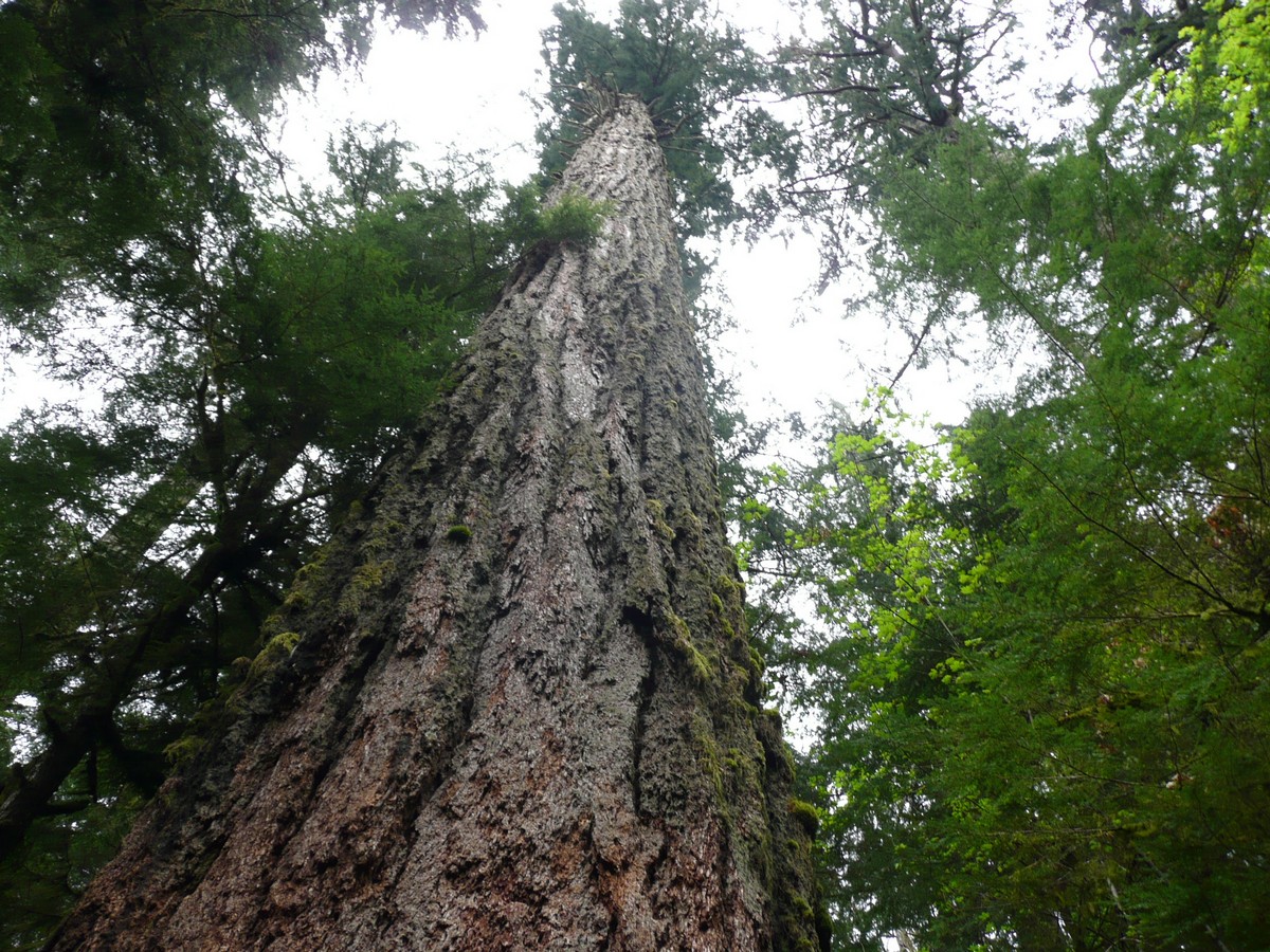
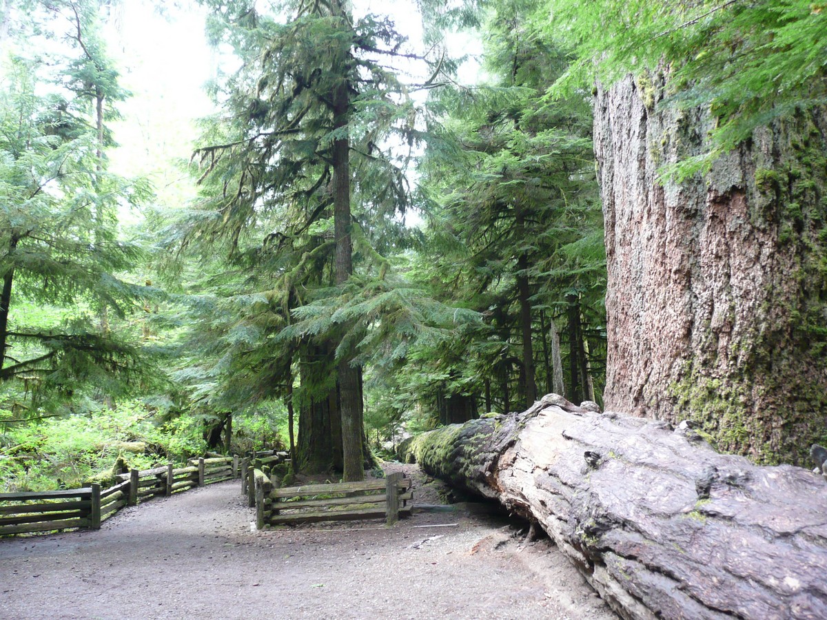
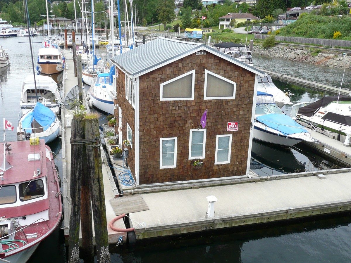
From the wildlife centre, we had to stop by the hokey Coombs Old Country Market where a herd of goats leisurely hang out on the grass roof. Snapping a quick picture and loading our camper with fresh fruits and vegetables (as we were were not sure what the customs would allow in from the U.S.), we went down the road to the Cathedral Grove. This particular protected grove is home to some of British Columbia's oldest ancient trees, with one specimen being over 800 years old. Unfortunately, it is all that is left of a much larger swathe of these giant life forms.
We also drove all the way to Tofino, a small enclave at the end of a West Coast peninsula; however, as it was bucketing rain and it just seemed like a town that was made up to be "hippiesh" just for the tourists, we drank our hot chocolates, wolfed down our scones, and drove the several hours back to the eastern side of the island. As the English would say, Tofino was not our "cup o' tea" (perhaps, better visited in the sunshine and without so many tourists).
As our luck was holding, we literally drove straight across the island (which takes several hours) and right onto the ferry that was to take us to Earls Cove, British Columbia. Even as our luck was being strained, we managed to find a petrol station within a 1/2 gallon of reserve (in other words, within about ten miles of Gerson having to push the truck and camper). (And, if you are wondering why I would not be pushing, I have made it abundantly clear that we should fill up between 1/2 and 1/4 tank; however, Gerson likes the little yellow warning light too much).
   |
Coombs Old Country Market
and the famous (or rather, infamous) goats on the roof (there is one lounging on the upper roof - see horns)
Cathedral Grove - reminded me of the words in a 800+ year old fir tree and |
      |
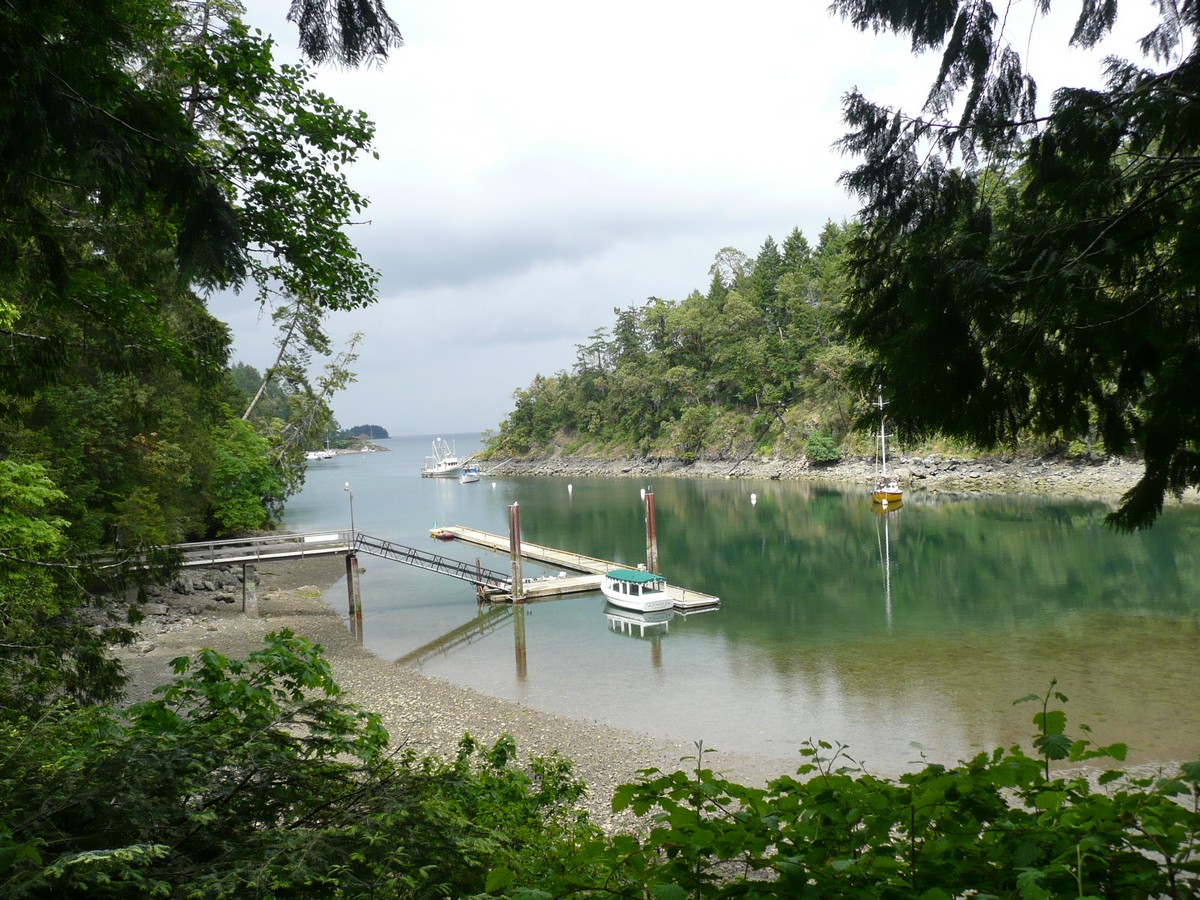
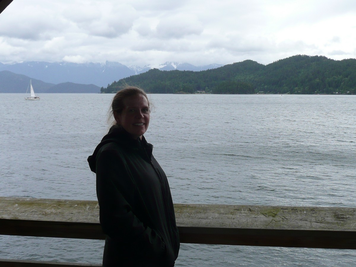
Gibsons, BC - a special
place for me as my Grandparents emigrated to the Vancouver area, and the family settled around Gibsons in the 1920's before heading south to the United States (my Father was born in California in 1933). Gibson's Harbour
and two incredible |
We took a leisurely drive down what is called the "Sunshine Coast" (and well named as it was quite beautiful in its sunny glory) and landed in Gibsons, BC. Gibsons is a place that is held fondly in my heart as it was to where my grandparents emigrated from Scotland, around the late19-teens to early 1920's. The "Family" located near Vancouver and predominantly around Gibsons.
I have visited a few times when I was very young and as a teenager and you might say that the idea of "me" was conceived there. As my mum would tell it, she and my Father were visiting during a rather chilly October and they had no heat in their camper. Nonetheless, a pepperoni pizza did not warm them up so one thing led to another, and I was supposedly, ahem, conceived. And yes, I love pepperoni pizza! (My birthday is in July - you do the math).
My want to revisit Gibsons was many faceted. I enjoy retracing my Father's old travel routes and of course, stepping again where my grandparents walked; however, I had something very specific in mind. When I was a child, I visited my Great Uncle Bill and Great Aunt Jessie Barker (Jessie was the sister of either my grandfather or grandmother, as they both had 'Jessie's in the family) on their little island they owned just across from Gibsons. Unfortunately, they had to sell their beloved Shelter Island and move back to the main land area.
Some quirky-neat things about Shelter Island: It was (and still is) so steep that my Great Uncle Bill built a lift (like a mining cart) that went from the boat landing up to the house. He would place his groceries and such into the cart, press the button, and up the items would go. A humorous note about this is that Uncle Bill had part of his leg amputated and as he was not able to climb easily, he would plop himself in the cart, and he himself would be shuttled up the steep slope.
Also, the island is connected by a low-tide land bridge to a smaller islet whereupon the local aboriginal tribe buried someone special. My Uncle and Aunt would maintain the little un-owned island to the local tribes-people's respect.
In addition, when my Father was but a late teenager, he, my Uncle Bill and my grandfather actually ran the phone line from Keats Island (a large island nearby) to Shelter Island. As this would have occurred around 1950, this was no easy feat!
 |
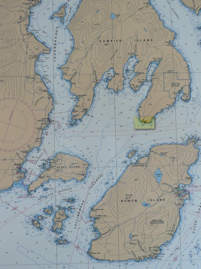
Look closely at this map.
On the left land mass, you will see Gibsons. |
    |
Looking out to Shelter
Island from the Gibsons' pier The larger is Shelter
Island and the |
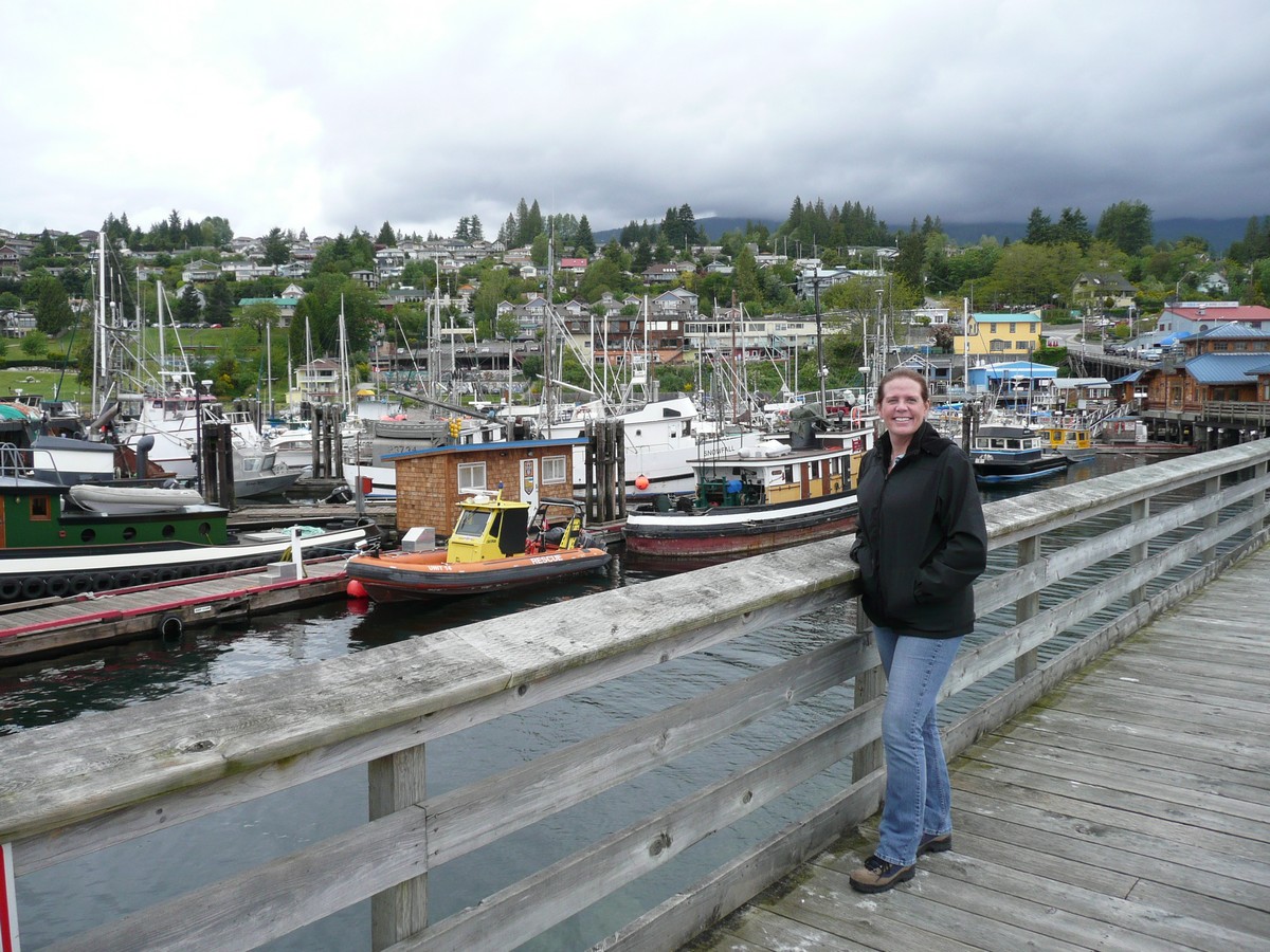
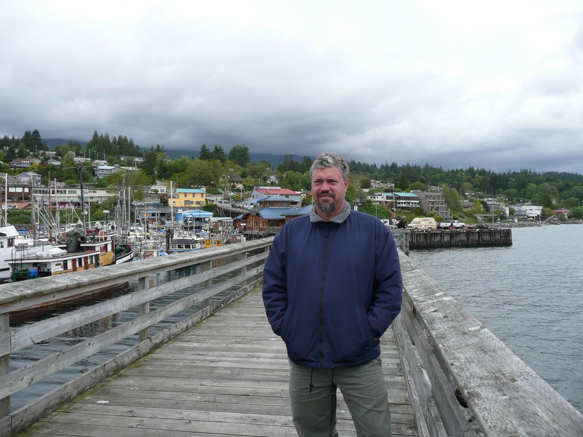
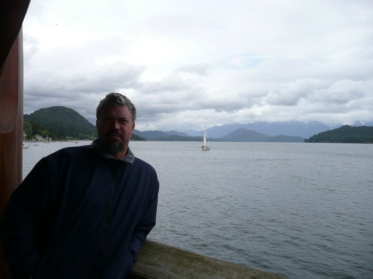
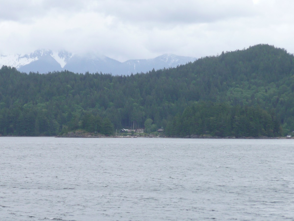
We enjoyed walking around the town and visited the local information office. Did you know that in 2009, Gibsons, BC was rated (by a world heritage group) the #1 city (with a population under 20,000) in which to live in the entire world! Impressed? I was to say the least. In a way, Gibsons presented itself as a small ocean community should: a pleasant harbour, bustling docks and piers, colorful boats and buildings, a multitude of seafood restaurants (both big and small and many quaint), and friendly people who pronounced "eh" often.
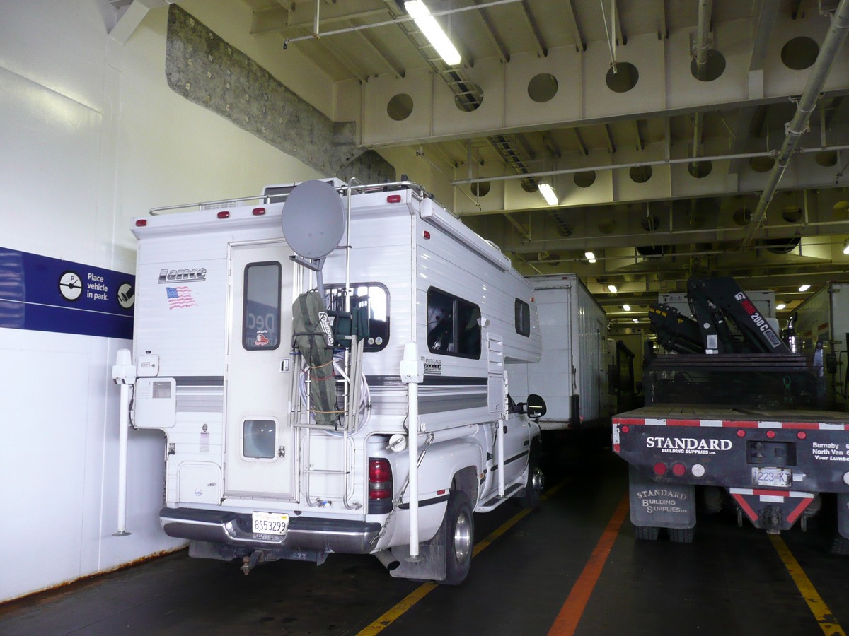
Well, our luck increased while we soaked up the local and somewhat familiar vibe as we wanted to catch yet another (and the last) ferry to Vancouver. In case you are not aware, British Columbia's western edge is comprised of seemingly hundreds, if not thousands, of islands, some the size of an entire state in the U.S. and some no bigger than a car. Needless to say, travel by ferry is commonplace and having a knack to catch the ferries seemed to be innate with Gerson and me.
We looked at the time table and found that the ferry should have been leaving right as we started down the road. Seeing as we are not the kind of people that just believe what we read, we thought "let's just check and see if the ferry was on time" (IE: we were too late). As I am sure you can guess, the ferry was a half an hour late and they literally closed the menacing gate behind us. Whew!
Now, you would think that this would be just another scenic and typical ferry ride for us by now. Well, you would be a tad wrong. Why? Ok, more Louise history. (This story is told in a simple tongue-in-cheek form as my sources were varied and as they have passed on now, they were known for their rather, how do I say, grand elaboration of a good story).
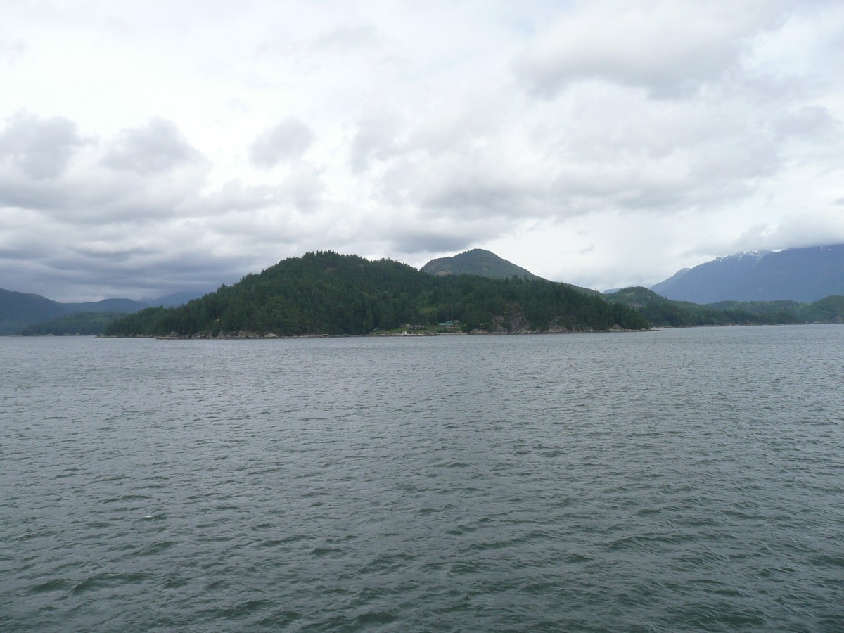
Once upon a time, there were four sisters. These sisters, Elizabeth (my Grandmother, born in Scotland), Jesse and William (born in Canada - William was "Aunt Billie" as the Father did not want to be the last William Horsburgh and therefore, named the youngest girl "William" - Funny!) and Ethel (audience say "BOOOOOO" , born in Canada) were among the batch of Forsythe-Horsburghs. The Patriarchal Horsburgh purchased and lived on his beloved 32 acres on Gambriel Island, just off the Gibsons coast. This lovely forested and granite-bouldered land was on the point of a particularly long bay, called of course, Long Bay (today, the maps show Port Graves Bay - but seeing as "Vancouver" used to be "Van Couver", Canadians obviously tend to be a bit flexible with names).
This bay was part of three bays that made up the 'fingers' for Gambriel Island and even today, it is sparsely populated by summer cottages and more so enjoyed by the bi-ped enthusiast. A home was built and enjoyed by William and the Family; however, a serious car accident (thought to be caused by Ethel ("BOOOOOOO") distracting her Father) seriously injured William and he had to be cared for full time.
Ethel ("BOOOOOOO"), the only sister that had married the money she so coveted, had an additional room where the Father was to live and sisters Jesse and Billie took turns caring for him. Soon, William was brought to Elizabeth and her young family in Monterey Park, California. William started to prosper; however, once he realized he would never be able to return to his beloved island home, he soon regressed and passed way. Elizabeth was there for his last breath and she was given the special home on Gambriel Island.
Ethel ("BOOOOOOO") became extremely irate that she was not the chosen daughter and as she wanted some payment for her "expenses" in caring for the Father, she demanded the Father's home and land land in compensation. As the issue caused great difficulty in the Family and with the love of her family and the memory of her Father paramount, Elizabeth agreed to the demand and included the verbal stipulation that the land would not be sold without offering it back to the Family first.
Unfortunately, this is no fairy tale and therefore, no happy ending. As William succumbed to his injuries, Ethel ("BOOOOOOOO") succumbed to her greed and her tremendous lack of a familial trait, integrity. She sold the island to the first person that made an offer and sometime in the late 1940's, the 32 acres that overlooked the Strait of Georgia and is clearly visible from the Gibsons ferry (Landale-Vancouver), was lost from the Family for a mere $4,700. The End.
To say that my Father and Grandfather were angry would be a significant understatement. So again - Ethel ("BOOOOOOO!").
 |
 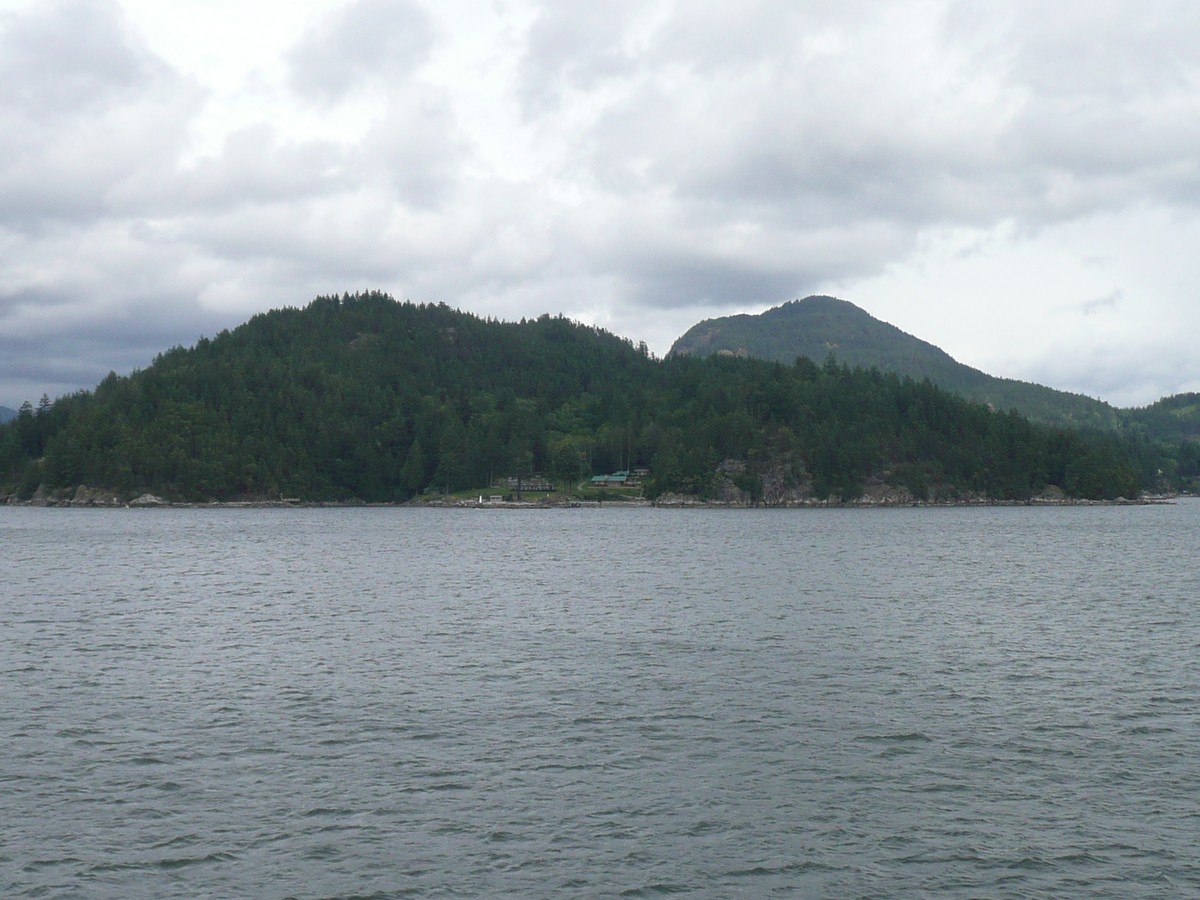 |
The end point of Long Bay Based upon my memory of my Father taking me to the lost acres, I believe the clearing with the house is the property. However, it could have been to either side as there were smaller homes as well. I just remember it being exposed, at the end of the point, boulders nearby and an open area where the house stood. Also, it was easily accessible by boat. The
map shows Gambriel island at the top and of the |
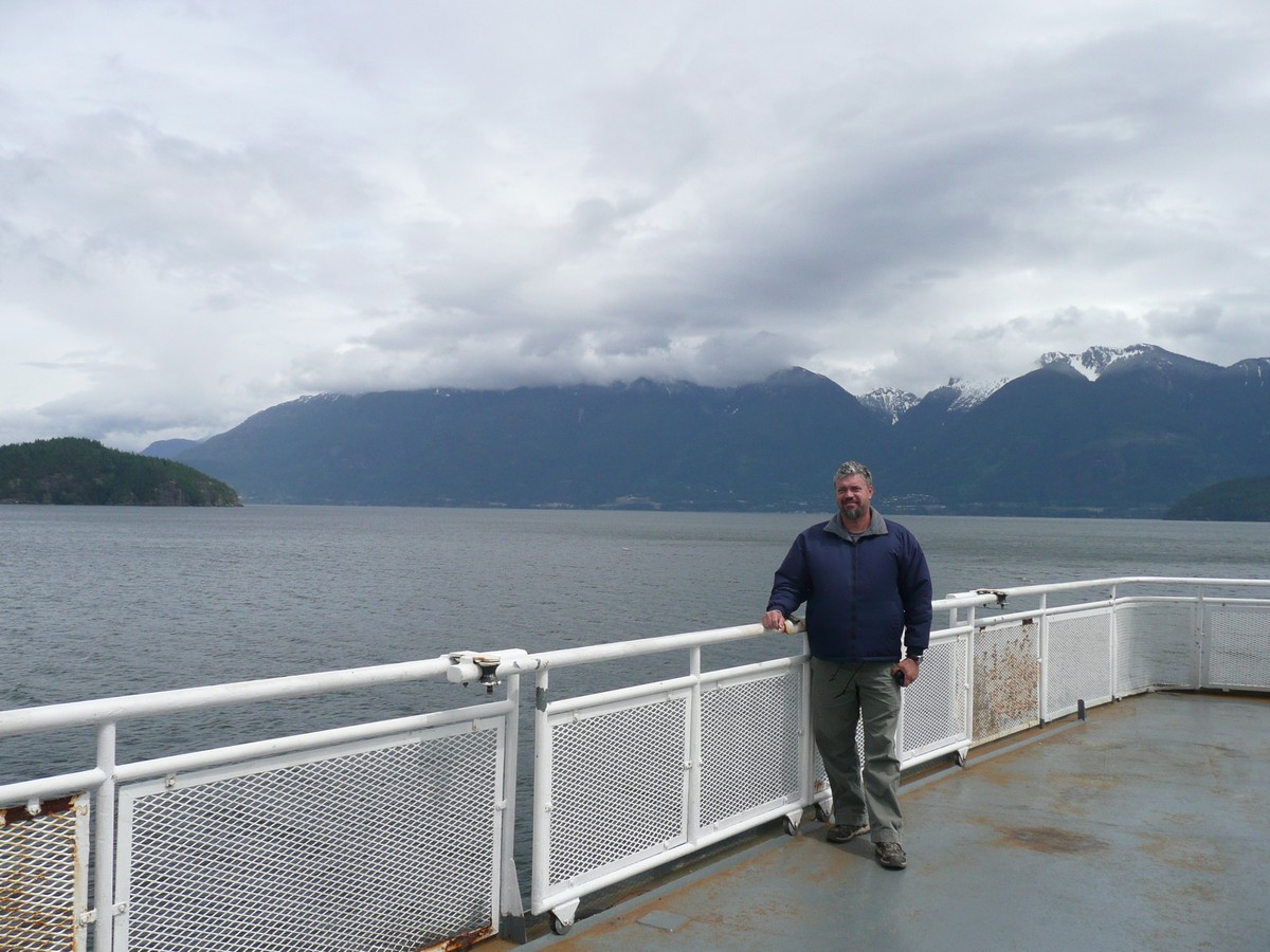   |
Ferry to Vancouver
Our trusted companion |
We left Gibsons with the definite plan to come back with a little more history in hand. As my Father was a prolific journal writer, I have literally tomes to go through to find the various clues to his travels in the area and the names of cousins I only vaguely remember.
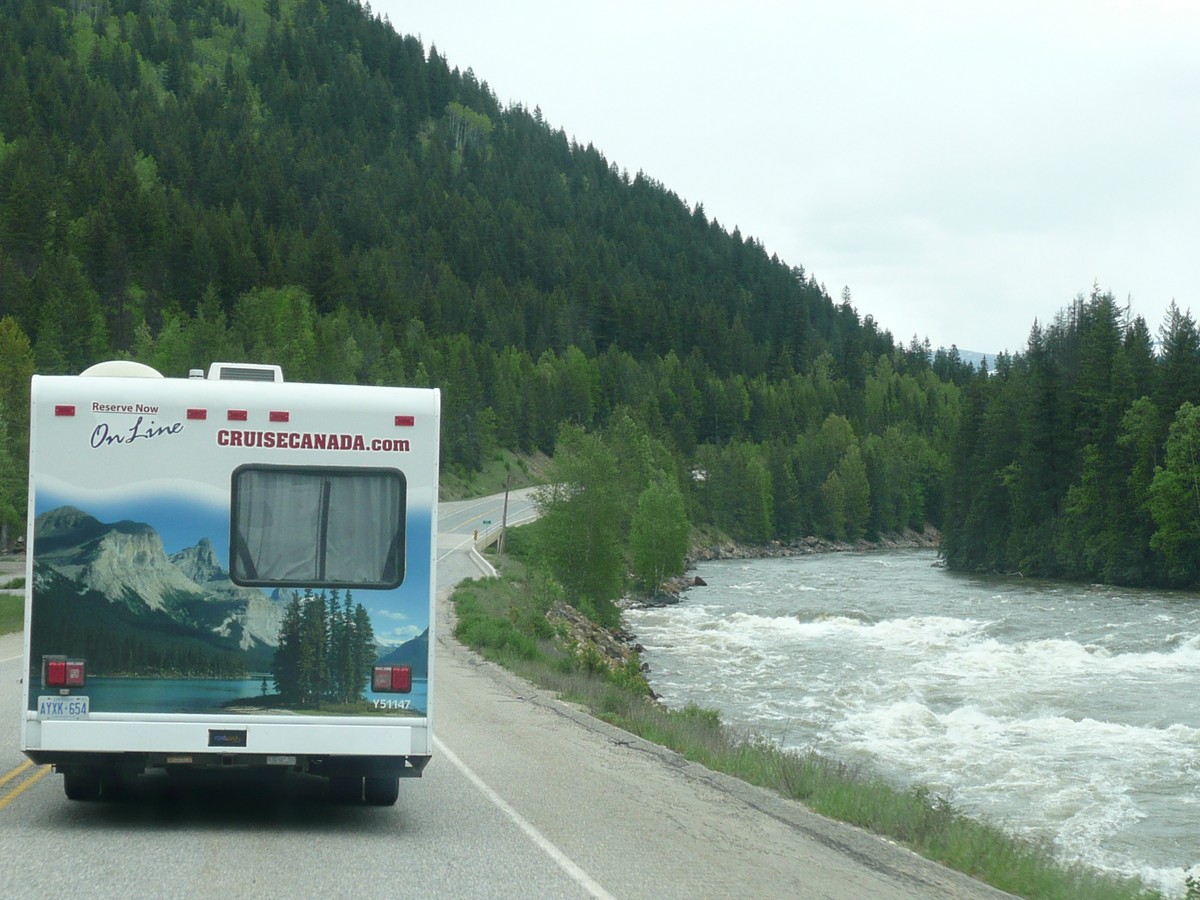
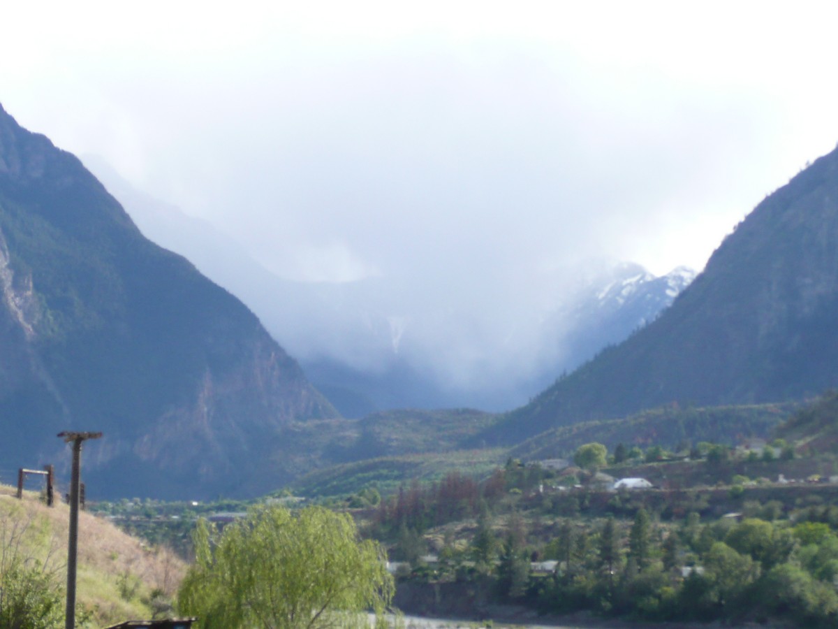
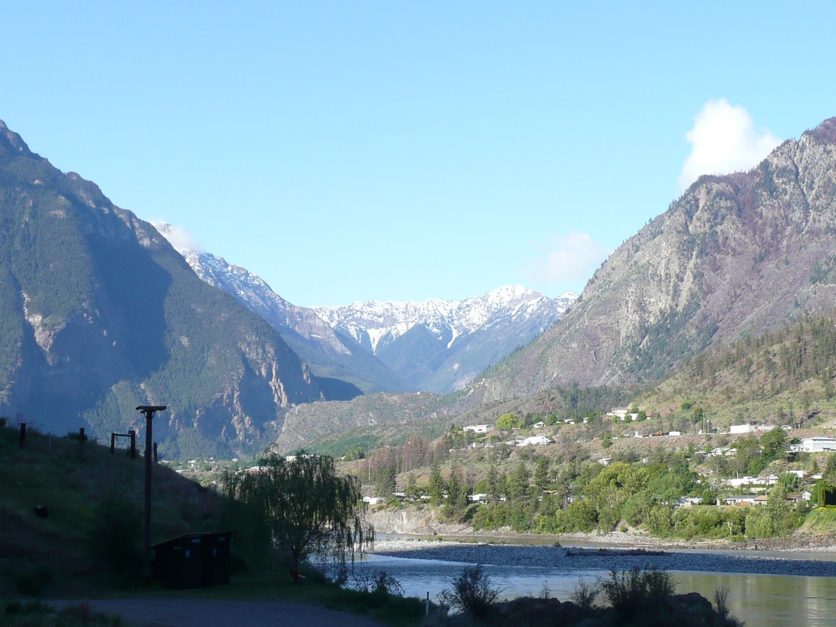
Not wanting to stop in Vancouver, we bypassed it entirely, whisked through Whistler (too much a ski-tourist town for us) and headed northeastward and landed in a little town called Lillooet. It was a neat place built in the Fraser Canyon and on the banks of the Fraser River. We had a wonderful cliff-top perch that overlooked the river and on into the mountains. A distant rainstorm entertained us for a bit and a hot shower refreshed us for the night.
As we were making our way to Jasper National Park, I was able to check another want-to-see-animal off my list as we encountered the likes of a Black Bear. The bear was enjoying a roadside snack of some plant or another and we were able to stop and take some pictures. As you are always told not to get out of the vehicle when you see a bear, I, of course, did the exact opposite and snuck around behind (and downwind) of the bear. The bear seemed totally nonplussed and I got a great picture of its behind. I thought that a tad safer than walking around in front of the bear and asking it to say "cheese". I may be a little stupid, but not THAT stupid. Besides, I can example the difference between the "stupids" in a later entry.
   |
The weekend we were in
Jasper was also a Holiday weekend for Canadians celebrating Queen Victoria Day. I can see where this RV got its inspiration Our view from our camp
|
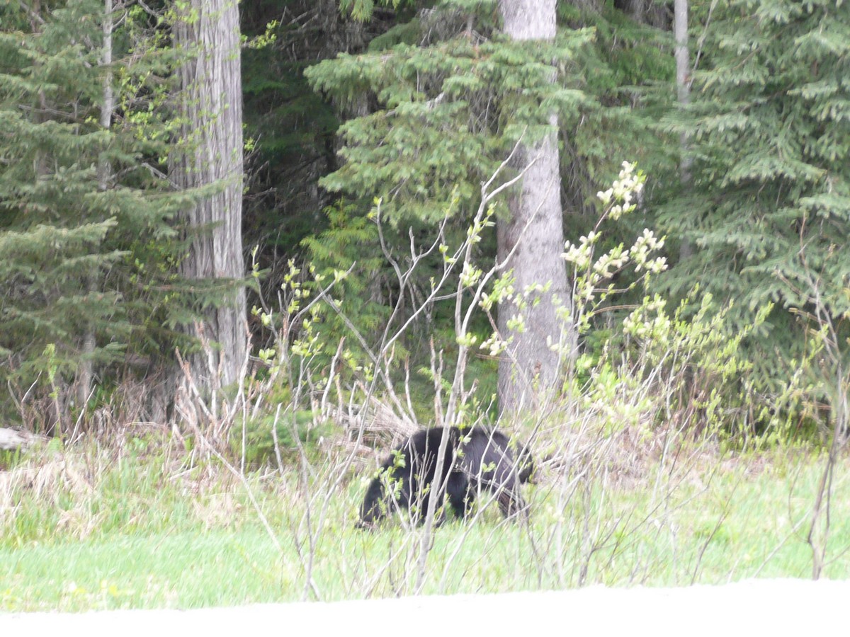 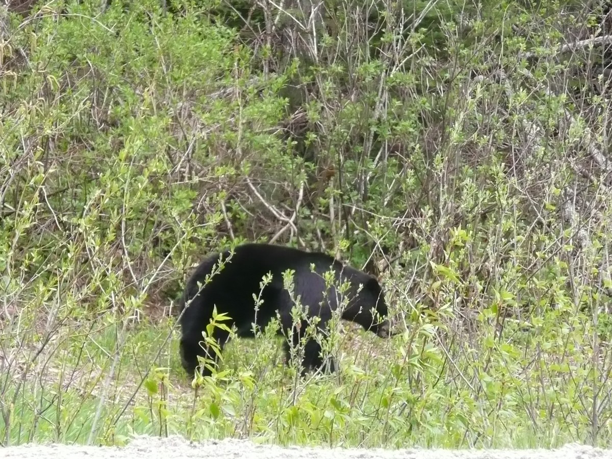 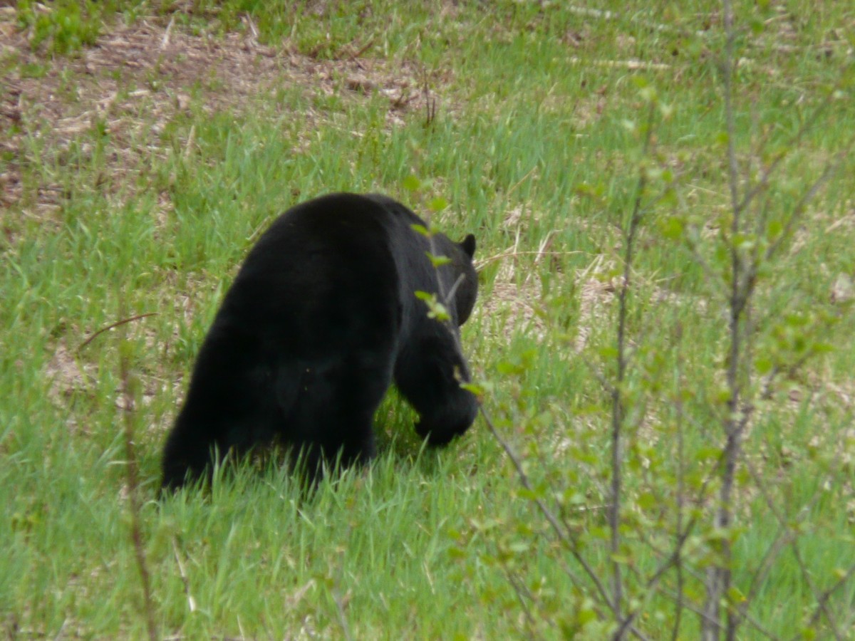 |
Our friendly and totally non-interested Black Bear. What a nice picture of its big black bum. |
We made it into Jasper National Park and into the town of Jasper itself. A very nice mountain town that is definitely outfitted for the all-year-round outdoor enthusiast. Although a bit touristy, not so much that you could not find the locals' spots or easily get to a mechanic. As we found a nail in our inside dually tire and heard that awful gurgling sound of air escaping from the wet tire, the finding of the latter was paramount. Fortunately, we found a mechanic that was working on a Saturday and loved the cash we paid him to plug the tire. We are really liking the Canadians!
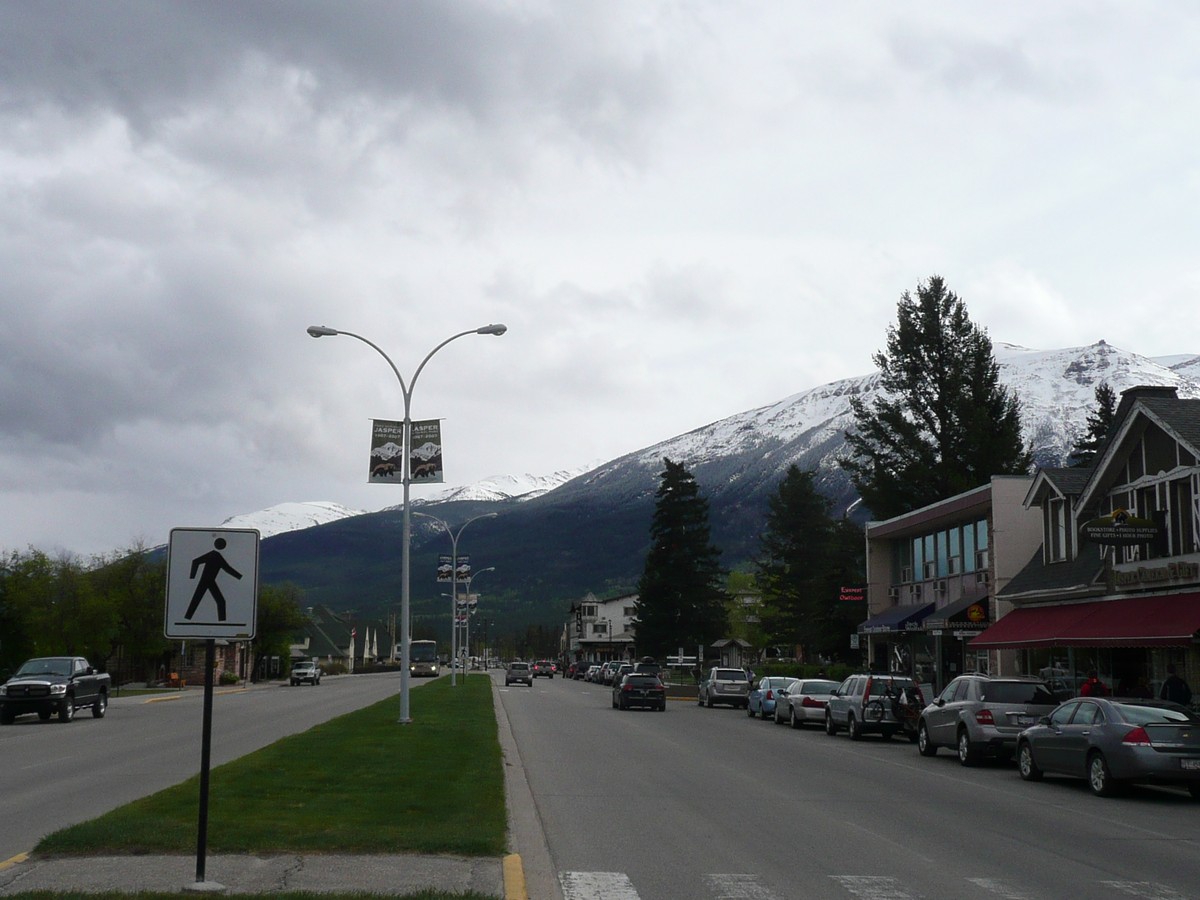    |
The town of Jasper is humbled by its neighbors A little snowfall
the night before |
   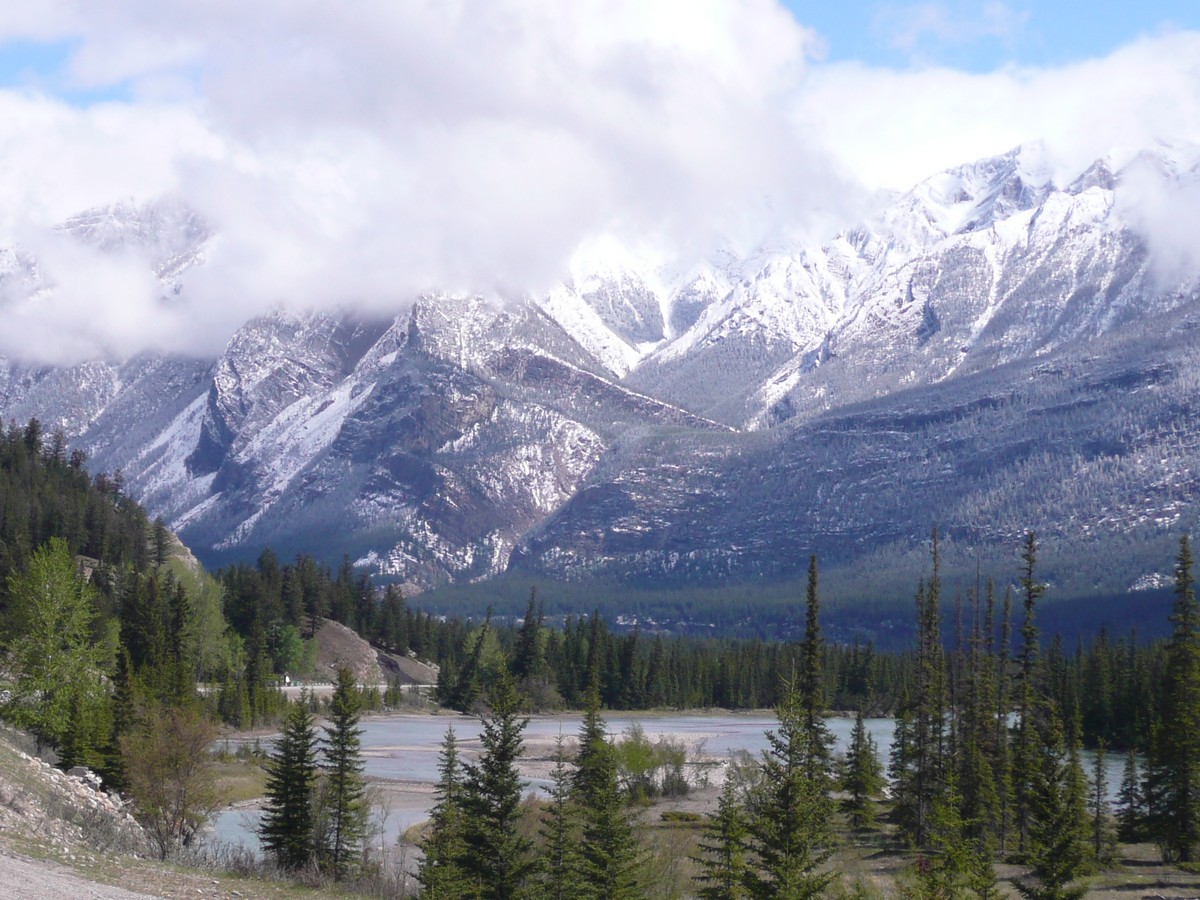 |
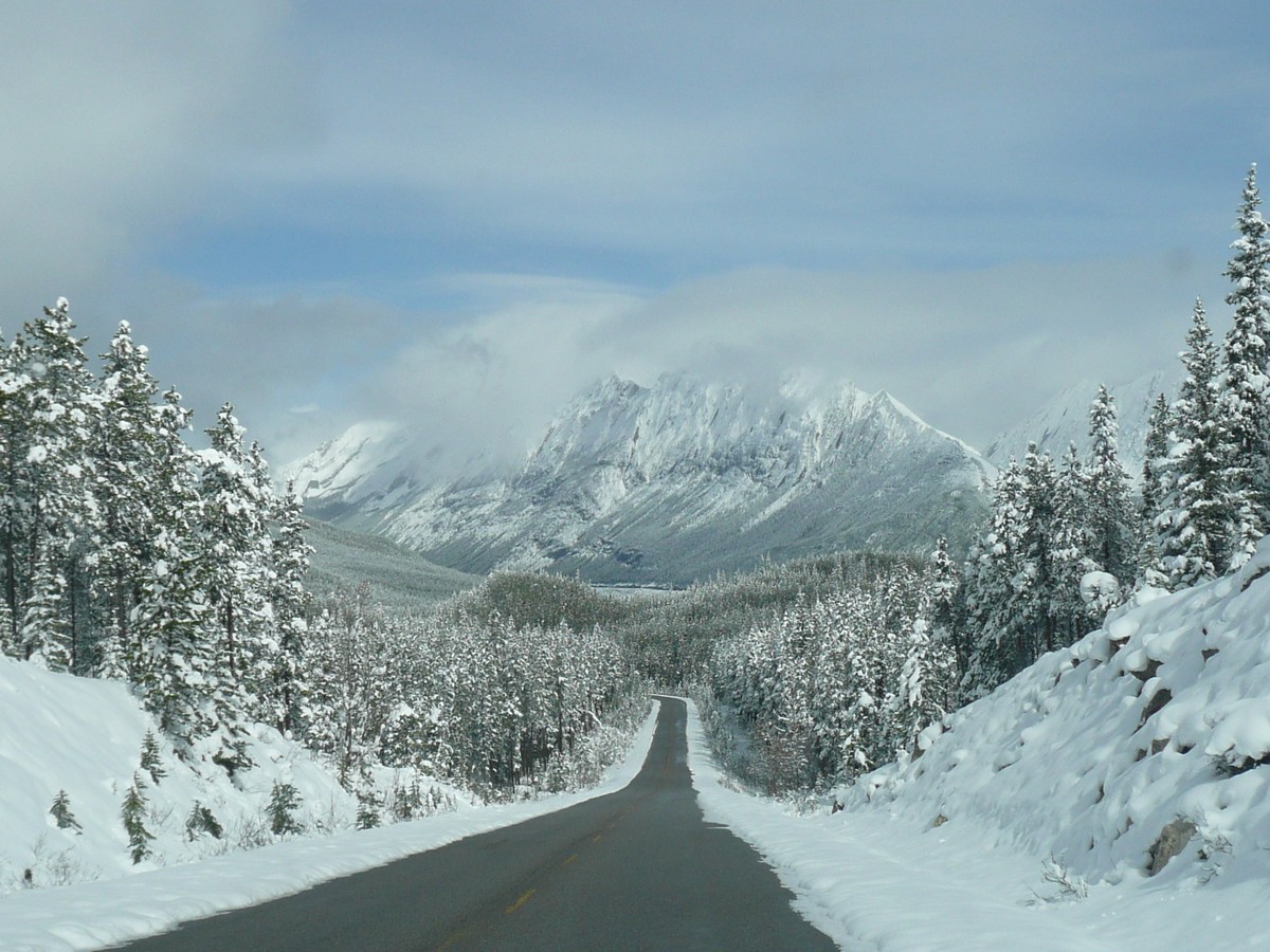
Just some incredible
sights coming into and out of Jasper We just never
got tired of the (Shhhh, don't tell anyone from Colorado, but the Canadian Rockies put the ones in Colorado to shame) |
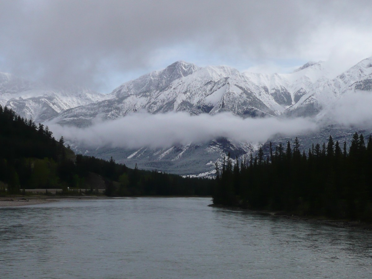
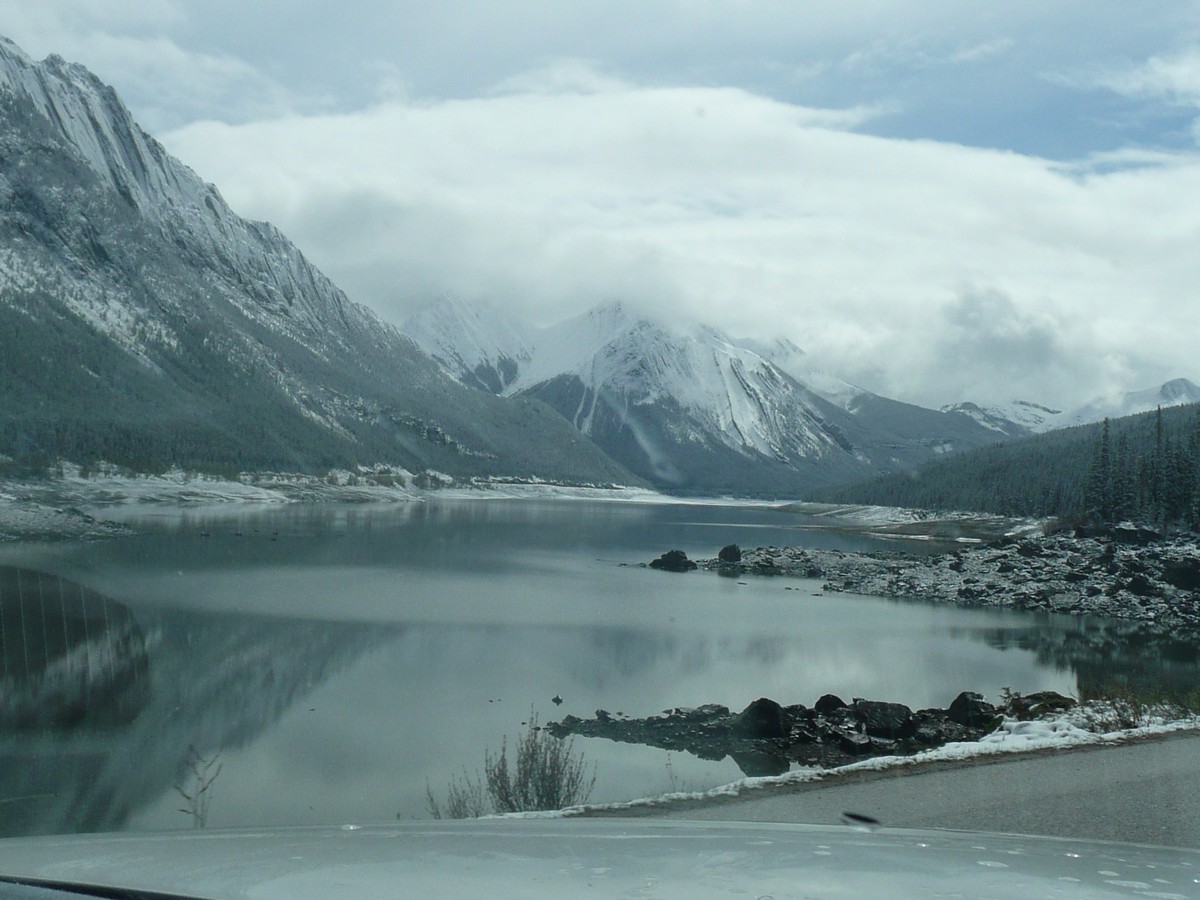
We had hoped to take a few hikes around Maligne Lake but the snowy, windy and otherwise really cold weather decided our day for us. We decided to work our way down the Icefields Parkway and take our time tooling around waterfalls and glaciers. As we were leaving town, we figuratively ran into a small herd of Elk (another animal checked off) and they had the decency to pose for pictures.
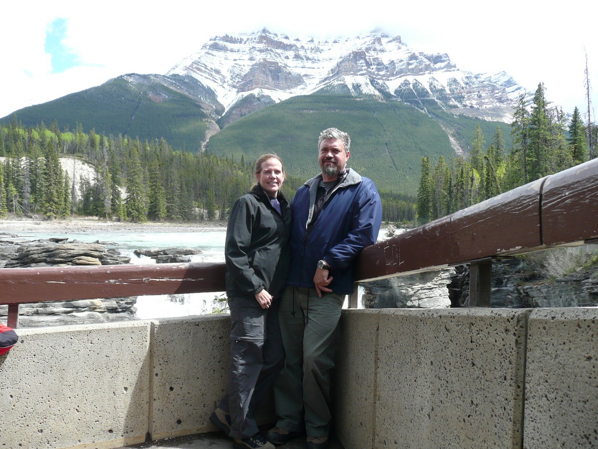
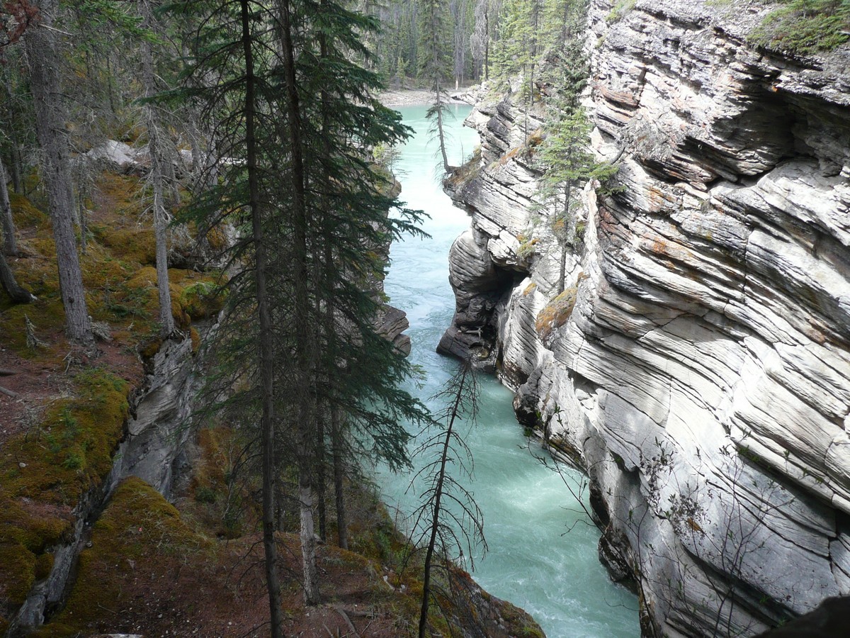
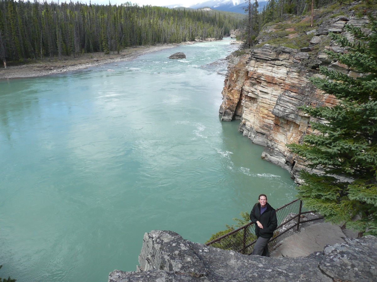
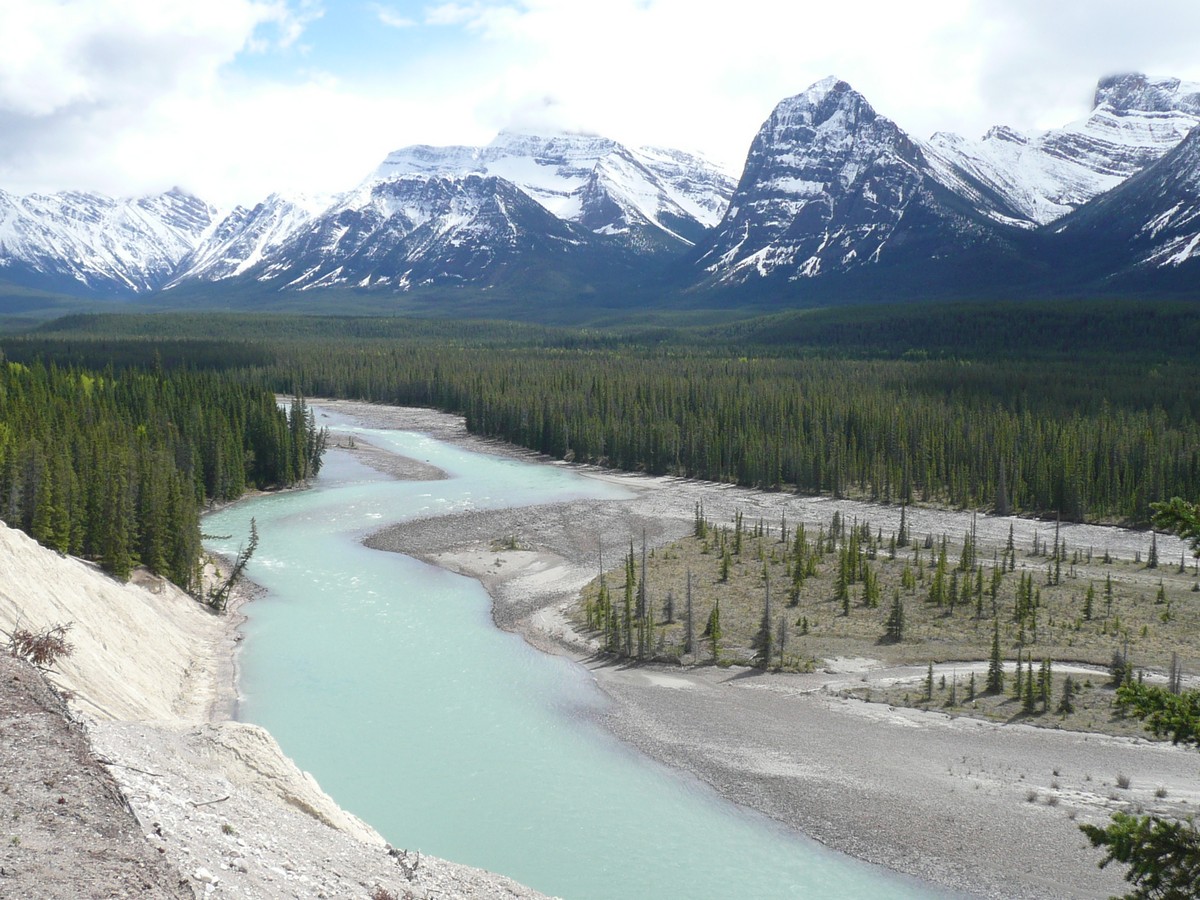
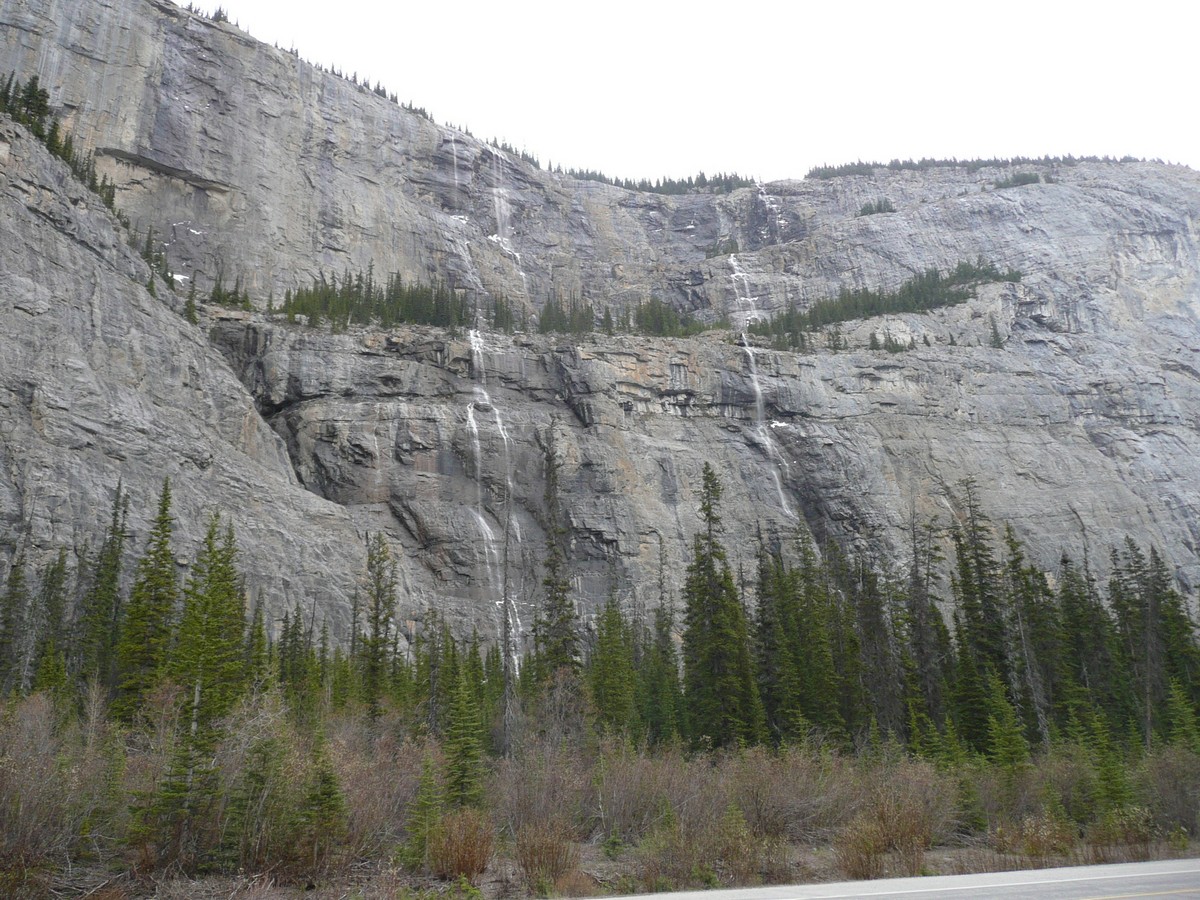
Our first stop was Athabasca Falls which was a picturesque setting as the water has cut deeply into the limestone, creating deeply narrow channels. The glacial silt reflects the sky to give it that turquoise hue which cannot be truly captured by a mere camera.
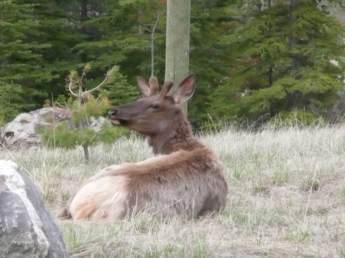    |
Our friendly Elk herd
A juvenile male and a |
   |
On the way to Athabasca
Falls The Falls did not disappoint |
The Athabasca Falls and Athabasca River area was a nice place to walk around and across the cliff edge. It was easy to see the thousands of years of the water scouring the limestone as the layers were evident on the canyon walls.
    |
Athabasca Falls and Athabasca River |
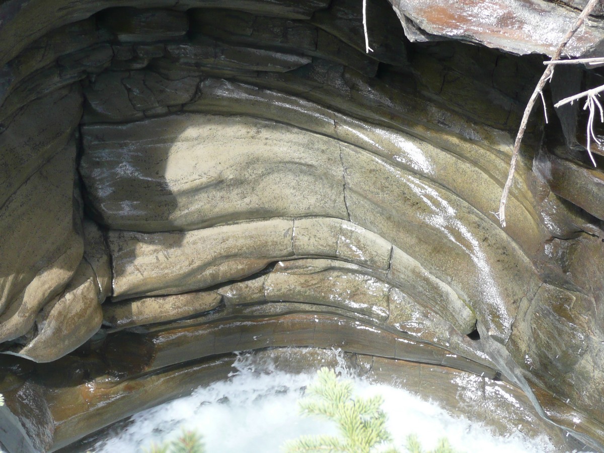  |
Layers of erosion
Gerson tries is hand (literally) at |
Not happy with just one waterfall, we trundled on down to another attractive area called Sunwapta Falls. Similar to Athabasca, and every bit as impressive, it was an easy falls to reach and again, toddle around and experience the falls from several angles.
  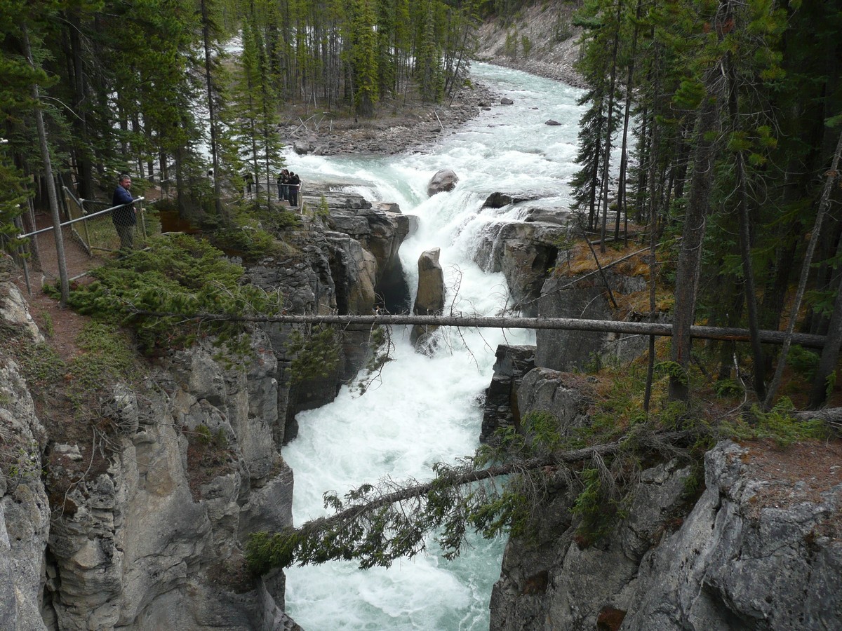  |
Sunwapta Falls (which means "turbulent water" in the native tongue) Gerson hanging by the
|
    |
Evidence of the glaciers's
passing once again as the glaciers have come and gone and come and gone and come and gone over millions of years. These latest glaciers have been here only about 8,000 years as forest dating 8,000 years has been found underneath. Once the
glaciers are gone again, the |
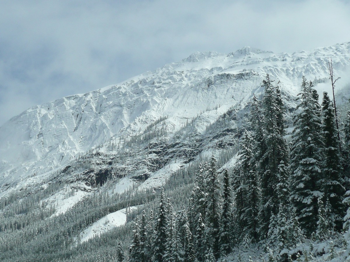
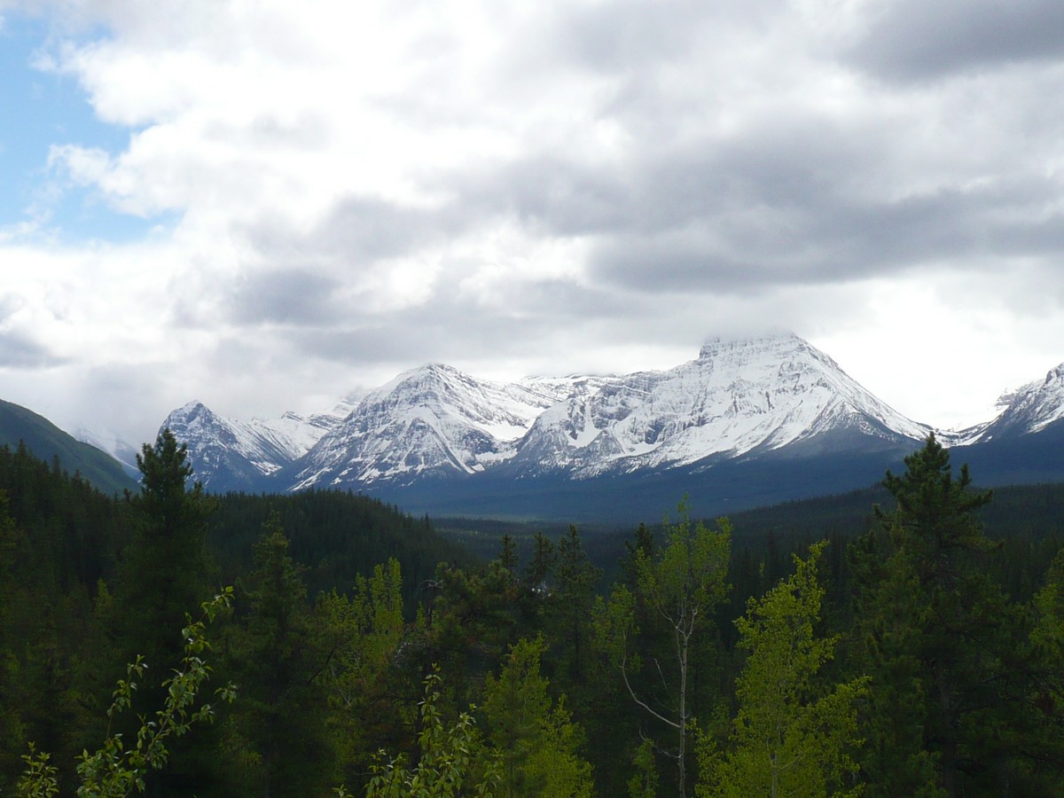
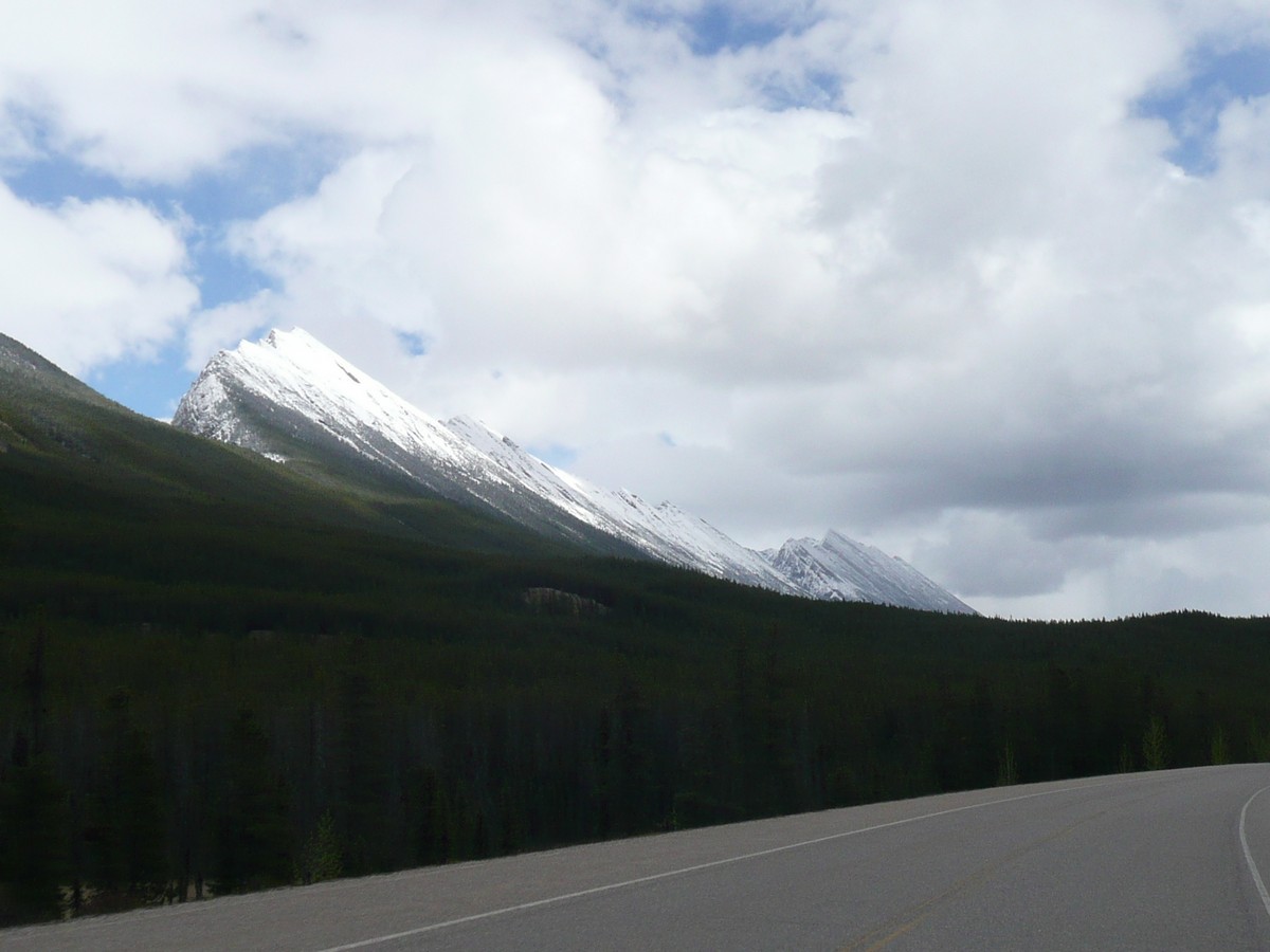
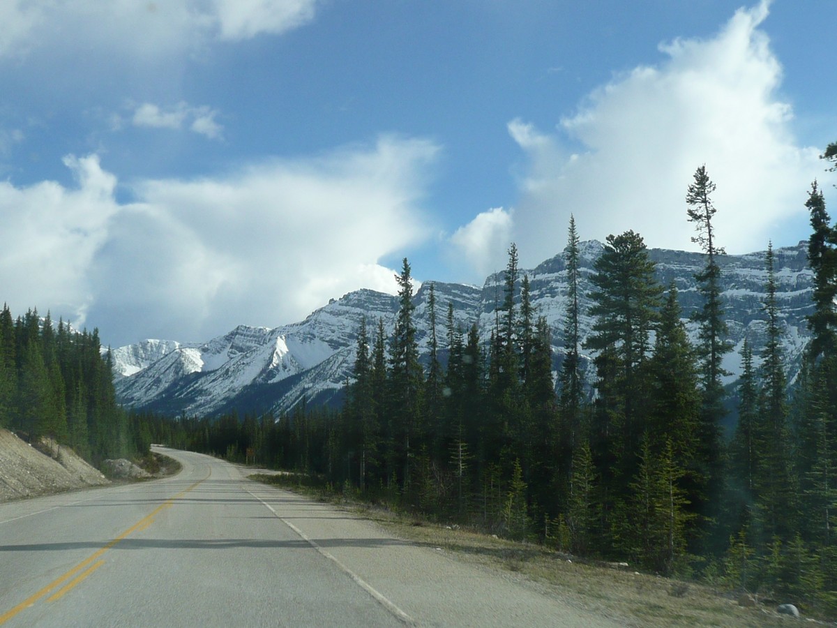
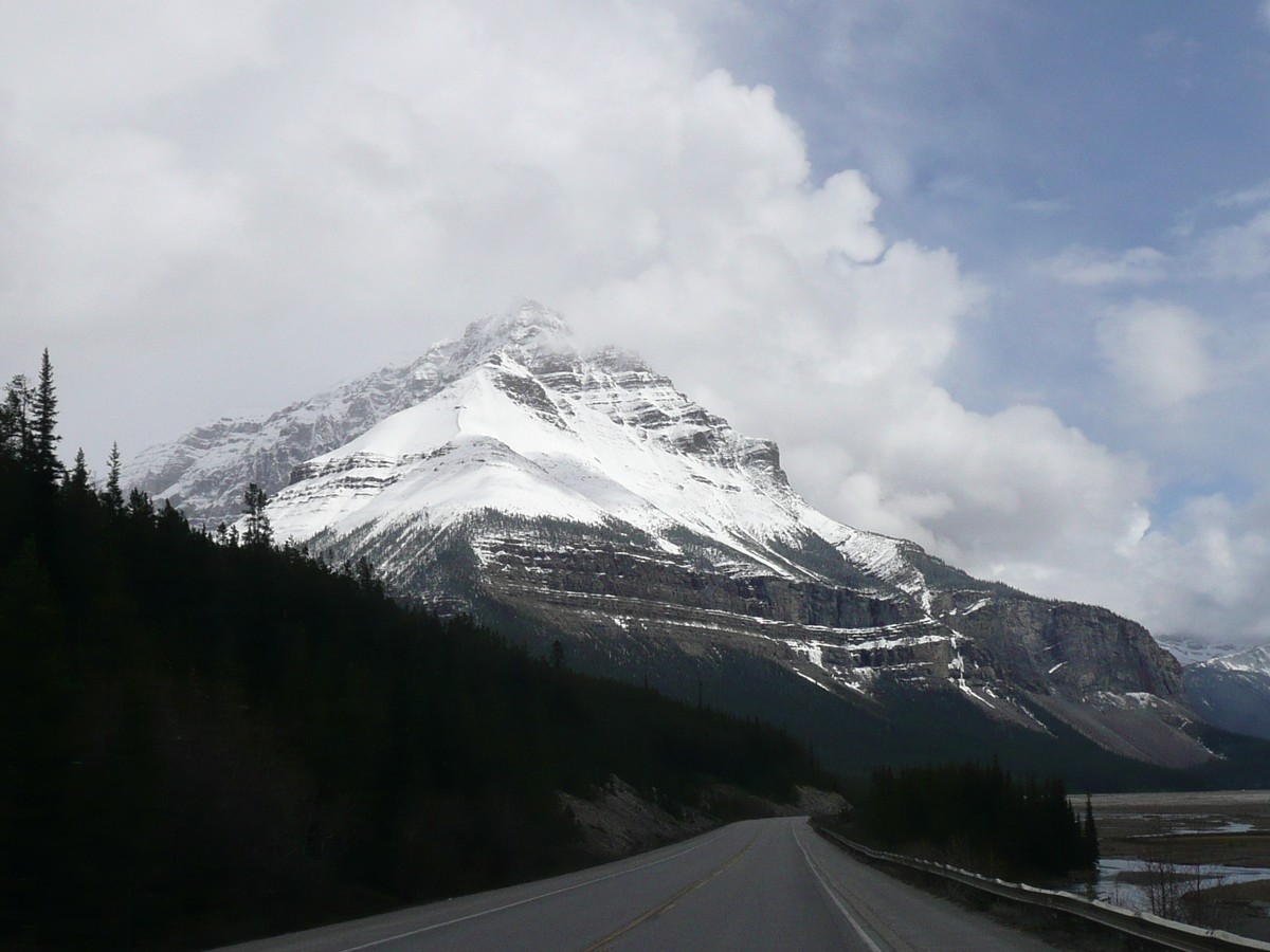
The drive down the Icefields Parkway was slow going as we stopped every chance we got to enjoy the natural wonders along the way. Keep in mind that the Canadian Rockies are hundreds of miles long and the glaciers that came through were several miles wide and thousands of feet deep. Driving down the throat of the glacial path makes you feel sad to see the glaciers recede; however, it has been something that has occurred many times and over millions of years. There is a reason why one of the largest finds of dinosaur fossils is within the glaciers's path as the dinosaurs lived between ice ages and between the lives of the glaciers.
    |
Glacier scars on the
mountains make for striking photo opportunities Bridal Falls |
  |
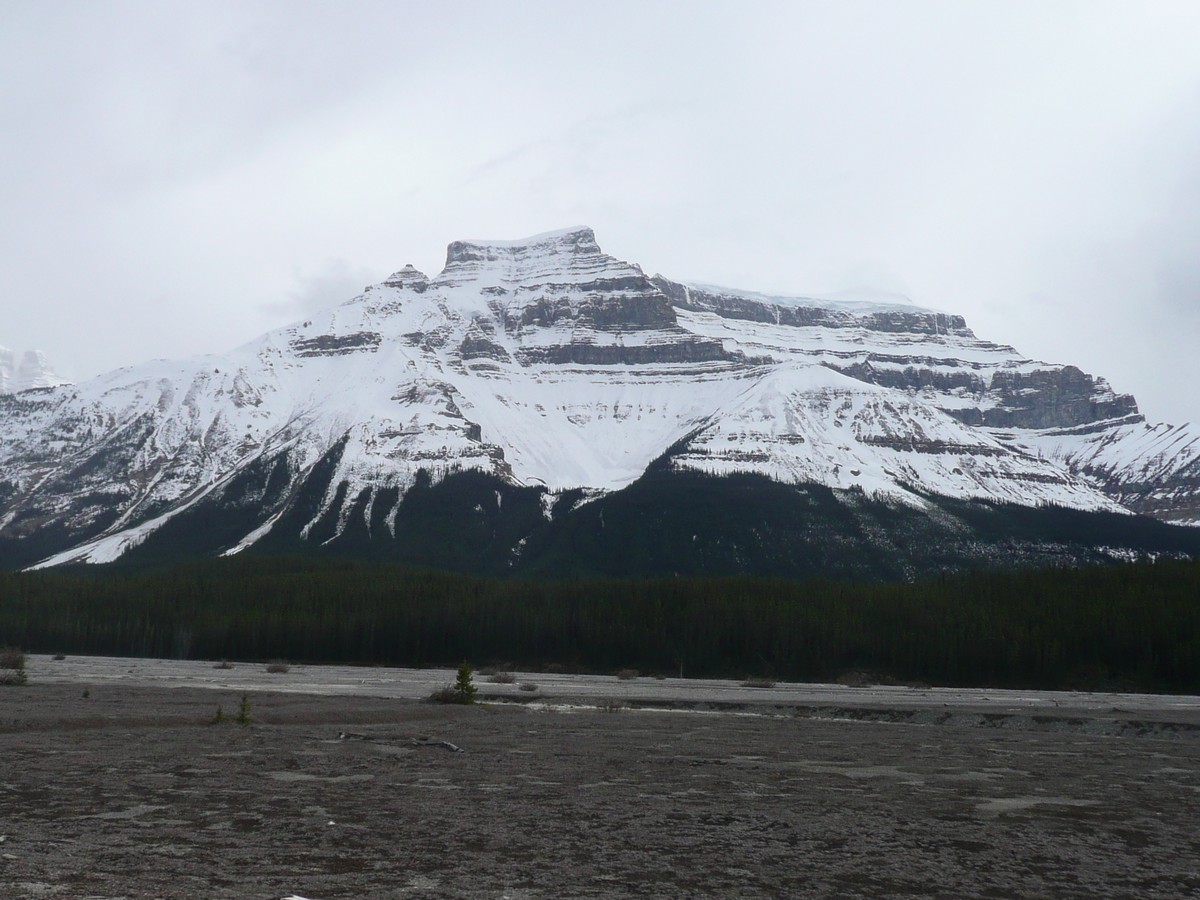
Athabasca Glacier - it has
been receding for hundreds of years and scientists have found forest remnants that date 8,000 years old. It takes hundred of years for the forests to come back again between ice ages If you
look closely at the second picture, you |
We finished our sojourn through time and had anticipated stopping off in Banff, a mountain town noted for its skiing and beauty. Well, what we found were traffic jams and way too many people (again, this was the start of a holiday for the Canadians) so we drove on through to the wonderful, the spectacular, the stupendous and of course, named after the most loveliest of people, Lake Louise.
Home Page Canada - Diary Index Canada Diary Page 1 Canada Diary Page 3